Lewisham
Lewisham/DC/25/142195
ST CATHERINES VICARAGE, 102A PEPYS ROAD, LONDON, SE14 5SG
- Reference
- Lewisham/DC/25/142195
- Authority
- Lewisham
- Address
- ST CATHERINES VICARAGE, 102A PEPYS ROAD, LONDON, SE14 5SG
- Postcode
- SE14 5SG
- Status
- Unknown
- Decision
- Raise No Objection
- Received
- 20 Nov 2025
- Validated
- 25 Nov 2025
- Started
- 25 Nov 2025
- Decided
- 18 Dec 2025
- Source council
- Lewisham
- Council source record
- View public record
- Public data licence
- Open Government Licence v3.0
- Record updated
- 18 Jul 2026
- SEO index generated
- 24 Jul 2026
Location
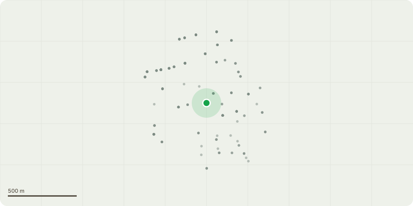
Approximate location
Proposal
FRONT (Kitto Rd): ONE Elder (T1)(ht.5m, spread 5m) FELL.Reason: growing from base of historic churchyard wall which needs to be replaced for pedestrian safety.FRONT (corner Kitto/Pepys Rds): ONE Horse Chestnut (T2)(ht.9m, spread 4m) FELL to 1.5m stump.Reason: Severe basal decay, white rot cavity at approx 1.5m from ground level. Hazardous.FRONT (Pepys Rd): ONE twin-stem Plum (T4)(ht.6m) remove 1x leaning stem (see submitted photo).Reason: over path obstruction, clearance to churchyard path & mitigate unstable lean - minor movement at base, removing the bough should help mitigate the severe lean, suspect the root ball has begun to lift.REPLANTING PROPOSAL: The customer has agreed to replant with native deciduous trees - see informative A.Informative A: the replacement tree planting is hugely appreciated to maintain the treed character of the setting of the church in its prominent location at the junction of several roads and opposite Telegraph Hill Lower Park, suggested species: T1 - another elder; T2 ? Hornbeam, sessile oak or Indian Horse Chestnut. Informative B: thank you for retaining the standing high stump of T2 for wildlife habitat and biodiversity, please create habitat log piles with arisings also for wildlife and biodiversity. Informative C: huge thank you for maintaining the treed setting to the church and planting replacement trees for streetscape amenity, wildlife and shade to reduce increasingly high summer temperatures due to climate change.
Key dates
- Received 20 Nov 2025
- Validated 25 Nov 2025
- Started 25 Nov 2025
- Decided 18 Dec 2025
Planning history / related applications
No related planning applications have been identified in the current public OGL dataset.
Inside plotEdge
Go beyond the public record
This page is the public OGL record. plotEdge adds the private intelligence layer for this site - open it in the app to unlock:
- Ownership & title Registered owner and title from HM Land Registry.
- Viability & build potential Site scoring and development upside.
- Constraints Flood risk, green belt, conservation areas and designations.
- Approval signal Planning risk and approval-likelihood analysis.
- Comparable applications Decisions on similar nearby sites, side by side.
- Status alerts Get notified the moment this application changes.
Source: public planning application data from Lewisham, reused under the Open Government Licence v3.0. View the council source record. Council documents and drawings are not republished on plotEdge.