Lewisham
Lewisham/DC/25/142039
GUYS HOSPITAL ATHLETIC CLUB, BROCKLEY RISE, LONDON, SE23 1NW
- Reference
- Lewisham/DC/25/142039
- Authority
- Lewisham
- Address
- GUYS HOSPITAL ATHLETIC CLUB, BROCKLEY RISE, LONDON, SE23 1NW
- Postcode
- SE23 1NW
- Status
- Unknown
- Decision
- Granted
- Received
- 4 Nov 2025
- Validated
- 16 Jan 2026
- Started
- 16 Jan 2026
- Decided
- 26 Jan 2026
- Source council
- Lewisham
- Council source record
- View public record
- Public data licence
- Open Government Licence v3.0
- Record updated
- 18 Jul 2026
- SEO index generated
- 24 Jul 2026
Location
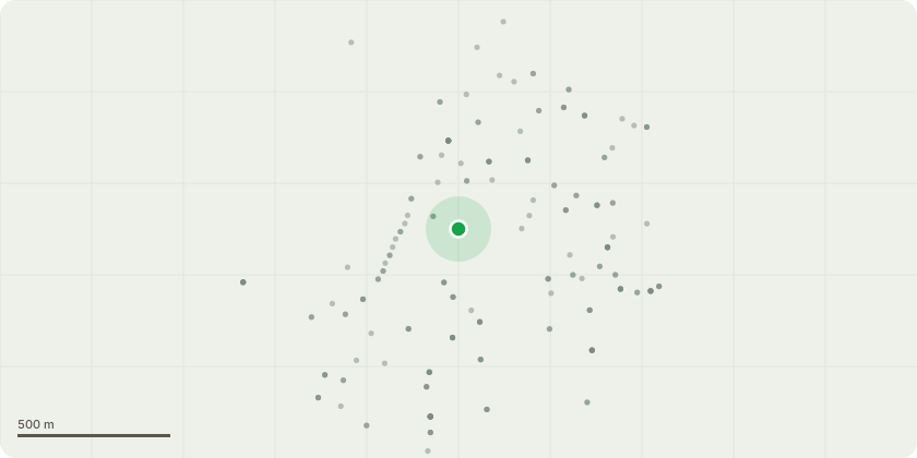
Approximate location
Proposal
FRONT (Brockley Rise entrance): ONE Horse Chestnut (T2, TPO T1)(ht.20m) CROWN THIN by 20-25% (maximum), CROWN LIFT to 4m above ground level. Reason: reduce weight and allow clearance.REAR (Ladywell Hts): 8 Lime (G5, TPO G4)(ht.7m) RE-POLLARD by approx.3m back to previous pollard points. Reason: repeat maintenance.REAR (Crofton Pk Rd): 61 Lime (G6, TPO G4)(ht.6m) RE-POLLARD by approx.3m back to previous pollard points. Reason: repeat maintenance.FRONT/SIDE (seen from Stillness Rd, by astro turf pitch): ONE Oak (in G7, TPO T3)(approx.ht.16m) LATERAL REDUCE by 2m on NW compass. Reason: clearance from fence line of astro turf pitch. (Note: Lateral reduction of other mixed shrubs/trees in G7 ht.2m-5m are not within the TPO)The London Borough of Lewisham Kings College Honor Oak Sports Ground, Brockley Rise London SE23 Tree Preservation Order 2005.Informative A: huge thank you for maintaining and retaining site trees and managing the site to enhance the grounds especially for tree and boundary amenity, wildlife, flood mitigation and shade to reduce increasingly high summer temperatures due to climate change. Informative B: please create habitat log piles with arisings for wildlife and biodiversity.
Key dates
- Received 4 Nov 2025
- Validated 16 Jan 2026
- Started 16 Jan 2026
- Decided 26 Jan 2026
Planning history / related applications
No related planning applications have been identified in the current public OGL dataset.
Inside plotEdge
Go beyond the public record
This page is the public OGL record. plotEdge adds the private intelligence layer for this site - open it in the app to unlock:
- Ownership & title Registered owner and title from HM Land Registry.
- Viability & build potential Site scoring and development upside.
- Constraints Flood risk, green belt, conservation areas and designations.
- Approval signal Planning risk and approval-likelihood analysis.
- Comparable applications Decisions on similar nearby sites, side by side.
- Status alerts Get notified the moment this application changes.
Source: public planning application data from Lewisham, reused under the Open Government Licence v3.0. View the council source record. Council documents and drawings are not republished on plotEdge.