Lewisham
Lewisham/DC/25/141804
BASEMENT FLAT, 18 BREAKSPEARS ROAD, LONDON, SE4 1UW
- Reference
- Lewisham/DC/25/141804
- Authority
- Lewisham
- Address
- BASEMENT FLAT, 18 BREAKSPEARS ROAD, LONDON, SE4 1UW
- Postcode
- SE4 1UW
- Status
- Unknown
- Decision
- Raise No Objection
- Received
- 14 Oct 2025
- Validated
- 4 Nov 2025
- Started
- 4 Nov 2025
- Decided
- 5 Dec 2025
- Source council
- Lewisham
- Council source record
- View public record
- Public data licence
- Open Government Licence v3.0
- Record updated
- 18 Jul 2026
- SEO index generated
- 24 Jul 2026
Location
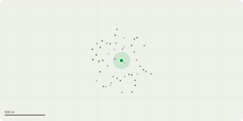
Approximate location
Proposal
FRONT: ONE mature Prunus laurocerasus (common laurel) (T1)(ht.7m) FELL including grinding out the stump to prevent regrowth. Reason: is excessively large, severely restricting daylight to the flat & obscuring the front elevation of the property, removal will benefit growth of T2 which is being retained. Proposed replanting with ornamental pear tree (Pyrus calleryana) in the front garden to maintain greenery, support biodiversity, and provide seasonal interest, while allowing improved light levels and natural surveillance of the property.Note: FRONT: ONE Elaeagnus × ebbingei (Ebbinge's silverberry)(T2)(ht.5.5m) RETAINED, no works proposed. Reason: this tree will be retained as it is an attractive specimen with a higher, more open crown and contributes positively to the character of the property and conservation area.Informative A: huge thank you for retaining a vegetated front garden for amenity, wildlife and shade to reduce increasingly high summer temperatures due to climate change. Informative B: thank you also for the proposed replacement tree (Pyrus calleryana) ? other suitable trees are such as crab apple, quince (Cydonia oblonga), common pear (Pyrus communis), medlar, elder, hazel, Laburnum, holly, Magnolia.
Key dates
- Received 14 Oct 2025
- Validated 4 Nov 2025
- Started 4 Nov 2025
- Decided 5 Dec 2025
Planning history / related applications
No related planning applications have been identified in the current public OGL dataset.
Inside plotEdge
Go beyond the public record
This page is the public OGL record. plotEdge adds the private intelligence layer for this site - open it in the app to unlock:
- Ownership & title Registered owner and title from HM Land Registry.
- Viability & build potential Site scoring and development upside.
- Constraints Flood risk, green belt, conservation areas and designations.
- Approval signal Planning risk and approval-likelihood analysis.
- Comparable applications Decisions on similar nearby sites, side by side.
- Status alerts Get notified the moment this application changes.
Source: public planning application data from Lewisham, reused under the Open Government Licence v3.0. View the council source record. Council documents and drawings are not republished on plotEdge.