Lewisham
Lewisham/DC/25/141139
30 VICARS HILL, LONDON, SE13 7JL
- Reference
- Lewisham/DC/25/141139
- Authority
- Lewisham
- Address
- 30 VICARS HILL, LONDON, SE13 7JL
- Postcode
- SE13 7JL
- Status
- Unknown
- Decision
- Granted
- Received
- 13 Aug 2025
- Validated
- 14 Aug 2025
- Started
- 14 Aug 2025
- Decided
- 18 Aug 2025
- Source council
- Lewisham
- Council source record
- View public record
- Public data licence
- Open Government Licence v3.0
- Record updated
- 18 Jul 2026
- SEO index generated
- 24 Jul 2026
Location
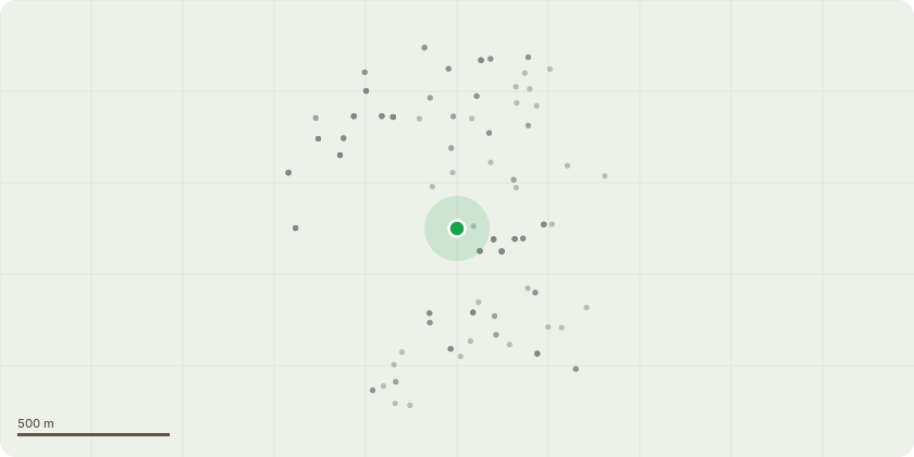
Approximate location
Proposal
FRONT (to Ermine Rd): ONE dead Chinese Privet tree (T10)(ht.10m) FELL. Reason: health & safety on raised ground above highway, the tree has died after being in decline for approx.2yrs, a smaller species replacement tree to be planted, duty to replace applies.Informatives: to thank for planting a replacement tree to replace streetscape amenity and urban greening benefits as required under duty to replace dead trees in conservation areas; reducing hard surfacing and covering the ground with 50mm depth bark mulch will help improve ground rooting conditions for the replacement tree, please water the new tree at least every fortnight between April-Sept for 5yrs whatever the weather for successful establishment; please create habitat log piles with some arisings for wildlife and biodiversity.
Key dates
- Received 13 Aug 2025
- Validated 14 Aug 2025
- Started 14 Aug 2025
- Decided 18 Aug 2025
Planning history / related applications
No related planning applications have been identified in the current public OGL dataset.
Inside plotEdge
Go beyond the public record
This page is the public OGL record. plotEdge adds the private intelligence layer for this site - open it in the app to unlock:
- Ownership & title Registered owner and title from HM Land Registry.
- Viability & build potential Site scoring and development upside.
- Constraints Flood risk, green belt, conservation areas and designations.
- Approval signal Planning risk and approval-likelihood analysis.
- Comparable applications Decisions on similar nearby sites, side by side.
- Status alerts Get notified the moment this application changes.
Source: public planning application data from Lewisham, reused under the Open Government Licence v3.0. View the council source record. Council documents and drawings are not republished on plotEdge.