Lewisham
Lewisham/DC/25/141069
8 MONTAGUE AVENUE, LONDON, SE4 1YP
- Reference
- Lewisham/DC/25/141069
- Authority
- Lewisham
- Address
- 8 MONTAGUE AVENUE, LONDON, SE4 1YP
- Postcode
- SE4 1YP
- Status
- Unknown
- Decision
- Granted
- Received
- 7 Aug 2025
- Validated
- 7 Aug 2025
- Started
- 7 Aug 2025
- Decided
- 11 Aug 2025
- Source council
- Lewisham
- Council source record
- View public record
- Public data licence
- Open Government Licence v3.0
- Record updated
- 18 Jul 2026
- SEO index generated
- 24 Jul 2026
Location
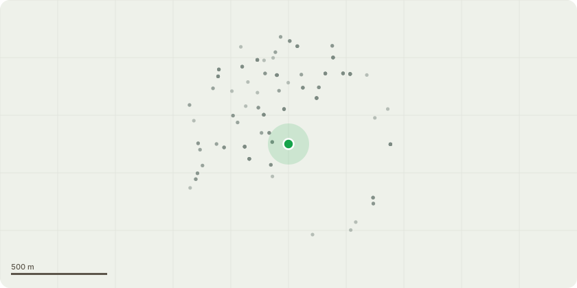
Approximate location
Proposal
REAR (boundary): ONE Lime tree (T1)(ht.4.5m,spread 3m) HEIGHT REDUCE by 2.5m from 4.5m to 2m, to cut to live wood to create a new pollard and remove failed stems from site. REASON: Tree suffered failure at two historic pollard points. The remaining upper canopy is very rotten and risk of the remaining stem falling into the neighbouring garden.Informative A: huge thank you for retaining the tree as a low pollard for rear amenity, wildlife and urban greening benefits.Informative B: if possible please retain the fallen, failed stems in the garden and create habitat log piles for wildlife and biodiversity. Informative C: if space allows tree planting is encouraged for amenity, wildlife and climate change resilience, species such as Harlequin Glorybower (Clerododendrum trichotomum), Seven-son tree (Heptacodium miconioides), Persian Silk tree (Albizia julibrissin), Cape Myrtle (Lagerstroemia indica), Orange Bark Myrtle (Myrtus apiculate, M.Luma), Turkish hazel (Corylus colurna), Pride of India/Golden Rain tree (Koelreuteria paniculata), Japanese pagoda tree (Styphnolobium japonicum), Hackberry (Celtis australis), Kentucky Coffee Tree (Gymnocladus dioica), the Bee Bee Tree (Tetradium daniellii).
Key dates
- Received 7 Aug 2025
- Validated 7 Aug 2025
- Started 7 Aug 2025
- Decided 11 Aug 2025
Planning history / related applications
No related planning applications have been identified in the current public OGL dataset.
Inside plotEdge
Go beyond the public record
This page is the public OGL record. plotEdge adds the private intelligence layer for this site - open it in the app to unlock:
- Ownership & title Registered owner and title from HM Land Registry.
- Viability & build potential Site scoring and development upside.
- Constraints Flood risk, green belt, conservation areas and designations.
- Approval signal Planning risk and approval-likelihood analysis.
- Comparable applications Decisions on similar nearby sites, side by side.
- Status alerts Get notified the moment this application changes.
Source: public planning application data from Lewisham, reused under the Open Government Licence v3.0. View the council source record. Council documents and drawings are not republished on plotEdge.