Lewisham
Lewisham/DC/25/141029
LAND AT THE REAR OF, 1 EARLSTHORPE ROAD, LONDON, SE26 4PD
- Reference
- Lewisham/DC/25/141029
- Authority
- Lewisham
- Address
- LAND AT THE REAR OF, 1 EARLSTHORPE ROAD, LONDON, SE26 4PD
- Postcode
- SE26 4PD
- Status
- Unknown
- Decision
- Objection Tree Preservation Order made
- Received
- 4 Aug 2025
- Validated
- 29 Aug 2025
- Started
- 29 Aug 2025
- Decided
- 9 Oct 2025
- Source council
- Lewisham
- Council source record
- View public record
- Public data licence
- Open Government Licence v3.0
- Record updated
- 18 Jul 2026
- SEO index generated
- 24 Jul 2026
Location
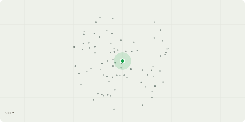
Approximate location
Proposal
REAR: ONE Ash tree (T1) Ht: 13m - FELL to ground level Reason: Inappropriate location due to very close proximity to the building, neighbouring wall and driveway. Species is unsuitable for confined space and poses a future structural risk. Tree is suppressed, leaning, and has a restricted rooting environment. Roots are raised and girdled, compromising long-term stability. Requires cyclical pruning to prevent direct damage. ONE Conifer tree (T2) Ht: 11m - FELL to ground level. Reason: Located in close proximity to garage, creating a high likelihood of direct structural damage. Fast-growing species not suitable for pruning or shaping. Causes heavy shading. Limited safe useful life expectancy in this position.
Key dates
- Received 4 Aug 2025
- Validated 29 Aug 2025
- Started 29 Aug 2025
- Decided 9 Oct 2025
Planning history / related applications
No related planning applications have been identified in the current public OGL dataset.
Inside plotEdge
Go beyond the public record
This page is the public OGL record. plotEdge adds the private intelligence layer for this site - open it in the app to unlock:
- Ownership & title Registered owner and title from HM Land Registry.
- Viability & build potential Site scoring and development upside.
- Constraints Flood risk, green belt, conservation areas and designations.
- Approval signal Planning risk and approval-likelihood analysis.
- Comparable applications Decisions on similar nearby sites, side by side.
- Status alerts Get notified the moment this application changes.
Source: public planning application data from Lewisham, reused under the Open Government Licence v3.0. View the council source record. Council documents and drawings are not republished on plotEdge.