Lewisham
Lewisham/DC/25/140945
140 JERNINGHAM ROAD, LONDON, SE14 5NL
- Reference
- Lewisham/DC/25/140945
- Authority
- Lewisham
- Address
- 140 JERNINGHAM ROAD, LONDON, SE14 5NL
- Postcode
- SE14 5NL
- Status
- Unknown
- Decision
- Raise No Objection
- Received
- 28 Jul 2025
- Validated
- 29 Jul 2025
- Started
- 29 Jul 2025
- Decided
- 20 Aug 2025
- Source council
- Lewisham
- Council source record
- View public record
- Public data licence
- Open Government Licence v3.0
- Record updated
- 18 Jul 2026
- SEO index generated
- 24 Jul 2026
Location
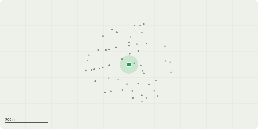
Approximate location
Proposal
REAR: ONE Hawthorn (T1)(ht.8m) FELL. Reason: removal to reduce lack of light and benefit growth of surrounding trees and shrubs. Replant acer tree.Informative A: to encourage retention of the hawthorn T1 with crown reduction and crown lift to address the shade issue, for amenity, wildlife benefits and shade to reduce high temperatures in increasingly hot summers due to the changing climate; it is also increasingly difficult to establish new trees with hot and dry spring and summers with climate change. Informative B: for a replacement Acer, suggest field maple or paperbark maple rather than Japanese maple which is prone to leaf scorch, alternative species for autumn colour are such as crab apple, Persian ironwood (Parrotia persica), Amelanchier, Seven Son Tree (Heptacodium miconioides), Cornus kousa Teutonia. Informative C: please create habitat log piles with arisings for wildlife and biodiversity.
Key dates
- Received 28 Jul 2025
- Validated 29 Jul 2025
- Started 29 Jul 2025
- Decided 20 Aug 2025
Planning history / related applications
No related planning applications have been identified in the current public OGL dataset.
Inside plotEdge
Go beyond the public record
This page is the public OGL record. plotEdge adds the private intelligence layer for this site - open it in the app to unlock:
- Ownership & title Registered owner and title from HM Land Registry.
- Viability & build potential Site scoring and development upside.
- Constraints Flood risk, green belt, conservation areas and designations.
- Approval signal Planning risk and approval-likelihood analysis.
- Comparable applications Decisions on similar nearby sites, side by side.
- Status alerts Get notified the moment this application changes.
Source: public planning application data from Lewisham, reused under the Open Government Licence v3.0. View the council source record. Council documents and drawings are not republished on plotEdge.