Lewisham
Lewisham/DC/25/140859
74 BELMONT PARK, LONDON, SE13 5BN
- Reference
- Lewisham/DC/25/140859
- Authority
- Lewisham
- Address
- 74 BELMONT PARK, LONDON, SE13 5BN
- Postcode
- SE13 5BN
- Status
- Unknown
- Decision
- Raise No Objection
- Received
- 17 Jul 2025
- Validated
- 21 Jul 2025
- Started
- 21 Jul 2025
- Decided
- 18 Aug 2025
- Source council
- Lewisham
- Council source record
- View public record
- Public data licence
- Open Government Licence v3.0
- Record updated
- 18 Jul 2026
- SEO index generated
- 24 Jul 2026
Location
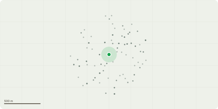
Approximate location
Proposal
REAR: ONE Sycamore (T1)(ht.15m) REDUCE HEIGHT by 2.5m to 12.5m. LATERAL REDUCTION by 10m from 7.5 m. Reason: routine maintenance.REAR: ONE Sycamore (T2)(ht.11m) FELL. Reason: large historic wound at the base of the tree.REAR: ONE Hazel (T3)(ht.6m) CROWN THIN by 15% (maximum). Reason: to create a more even crown density and routine maintenance.REAR: ONE Hazel (T4)(ht.6m) CROWN THIN by 15% (maximum). Reason: to create a more even crown density and routine maintenance.REAR: ONE Purple Plum (T5)(ht 8m) CROWN THIN by 15% (maximum). Reason: to create a more even crown density and routine maintenanceInformative A: huge thank you for retaining rear garden trees T1,T3-T5 for rear amenity, wildlife and shade to reduce high temperatures in increasingly hot summers due to the changing climate. Informative B: a replacement large canopy tree is encouraged for T2, species such as field maple, bird cherry, Golden Rain Tree/Pride of India (Koelreuteria paniculata), Katsura (Cercidiphyllum japonicum), Japanese pagoda tree (Styphnolobium japonicum), Italian alder, Hackberry (Celtis australis), Turkish hazel, Kentucky Coffee Tree (Gymnocladus dioica). Informative C: please create habitat log piles with arisings for wildlife and biodiversity.
Key dates
- Received 17 Jul 2025
- Validated 21 Jul 2025
- Started 21 Jul 2025
- Decided 18 Aug 2025
Planning history / related applications
No related planning applications have been identified in the current public OGL dataset.
Inside plotEdge
Go beyond the public record
This page is the public OGL record. plotEdge adds the private intelligence layer for this site - open it in the app to unlock:
- Ownership & title Registered owner and title from HM Land Registry.
- Viability & build potential Site scoring and development upside.
- Constraints Flood risk, green belt, conservation areas and designations.
- Approval signal Planning risk and approval-likelihood analysis.
- Comparable applications Decisions on similar nearby sites, side by side.
- Status alerts Get notified the moment this application changes.
Source: public planning application data from Lewisham, reused under the Open Government Licence v3.0. View the council source record. Council documents and drawings are not republished on plotEdge.