Lewisham
Lewisham/DC/25/140854
HORNIMAN MUSEUM AND GARDENS, 100 LONDON ROAD, LONDON, SE23 3PQ
- Reference
- Lewisham/DC/25/140854
- Authority
- Lewisham
- Address
- HORNIMAN MUSEUM AND GARDENS, 100 LONDON ROAD, LONDON, SE23 3PQ
- Postcode
- SE23 3PQ
- Status
- Unknown
- Decision
- Raise No Objection
- Received
- 16 Jul 2025
- Validated
- 16 Jul 2025
- Started
- 16 Jul 2025
- Decided
- 18 Aug 2025
- Source council
- Lewisham
- Council source record
- View public record
- Public data licence
- Open Government Licence v3.0
- Record updated
- 18 Jul 2026
- SEO index generated
- 24 Jul 2026
Location
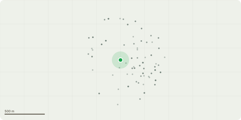
Approximate location
Proposal
REAR: ONE dead Willow (T1)(ht.9m) REDUCE to MONOLITH approx.ht.3m. Reason: since submitting the 6-week notice to lateral reduce the crown, on 12 August 2025 agent confirms the tree has died. The willow was already showing canopy decline and poor physiological condition, spring and summer 2025 have been exceptionally hot and dry, the tree is on sloping ground above a highly used path in the animal walk area, tree considered extremely hazardous, with brittle wood prone to failure. Duty to replace applies. Informative A: managing the tree as monolith for wildlife and biodiversity is greatly appreciated. Informative B: duty to replace applies if a tree in a conservation area is removed because it is dead or presents an immediate risk of serious harm: Tree Preservation Orders and trees in conservation areas, government guidance para 121.Informative C: a large canopy species tree required as replacement, planted near the original tree during the 2025-26 planting season, and the monolith and replacement tree to be protected with fencing from animal damage.Informative D: please create habitat log piles with arisings for wildlife and biodiversity. Works amended to fell from lateral reduce as agents email 12 August 2025
Key dates
- Received 16 Jul 2025
- Validated 16 Jul 2025
- Started 16 Jul 2025
- Decided 18 Aug 2025
Planning history / related applications
No related planning applications have been identified in the current public OGL dataset.
Inside plotEdge
Go beyond the public record
This page is the public OGL record. plotEdge adds the private intelligence layer for this site - open it in the app to unlock:
- Ownership & title Registered owner and title from HM Land Registry.
- Viability & build potential Site scoring and development upside.
- Constraints Flood risk, green belt, conservation areas and designations.
- Approval signal Planning risk and approval-likelihood analysis.
- Comparable applications Decisions on similar nearby sites, side by side.
- Status alerts Get notified the moment this application changes.
Source: public planning application data from Lewisham, reused under the Open Government Licence v3.0. View the council source record. Council documents and drawings are not republished on plotEdge.