Lewisham
Lewisham/DC/25/140824
68 BREAKSPEARS ROAD, LONDON, SE4 1TS
- Reference
- Lewisham/DC/25/140824
- Authority
- Lewisham
- Address
- 68 BREAKSPEARS ROAD, LONDON, SE4 1TS
- Postcode
- SE4 1TS
- Status
- Unknown
- Decision
- Raise No Objection
- Received
- 15 Jul 2025
- Validated
- 11 Aug 2025
- Started
- 11 Aug 2025
- Decided
- 1 Sept 2025
- Source council
- Lewisham
- Council source record
- View public record
- Public data licence
- Open Government Licence v3.0
- Record updated
- 18 Jul 2026
- SEO index generated
- 24 Jul 2026
Location
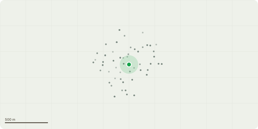
Approximate location
Proposal
REAR: ONE Oak tree (T1) CROWN REDUCTION Ht by 2m from 20m to 18m, Spread by 2m from 13m to 11m. CROWN LIFT to 4m above ground level.ONE Ash tree (T2) LATERAL REDUCTION of one limb by 1.5m from 5m to 3.5m. REASON: Overhanging neighbouring garden. CROWN REDUCTION Ht by 3m from 12m to 9m, Spread by 2m from 5m to 3m, (alternative option to crown reduce T2 added by agent in email 9 August 2025).ONE Holly tree (T3) CROWN REDUCTION Ht by 4m from 10m to 6m.Informative A: The sensitive management of the tree is greatly appreciated for landscape amenity, wildlife, wellbeing, and urban forest canopy for environmental benefits to mitigate the effects of climate change.Informative B: Wherever possible, please create habitat log piles in the garden from cut branches for wildlife and biodiversity.
Key dates
- Received 15 Jul 2025
- Validated 11 Aug 2025
- Started 11 Aug 2025
- Decided 1 Sept 2025
Planning history / related applications
No related planning applications have been identified in the current public OGL dataset.
Inside plotEdge
Go beyond the public record
This page is the public OGL record. plotEdge adds the private intelligence layer for this site - open it in the app to unlock:
- Ownership & title Registered owner and title from HM Land Registry.
- Viability & build potential Site scoring and development upside.
- Constraints Flood risk, green belt, conservation areas and designations.
- Approval signal Planning risk and approval-likelihood analysis.
- Comparable applications Decisions on similar nearby sites, side by side.
- Status alerts Get notified the moment this application changes.
Source: public planning application data from Lewisham, reused under the Open Government Licence v3.0. View the council source record. Council documents and drawings are not republished on plotEdge.