Lewisham
Lewisham/DC/25/140773
2 WESTWOOD PARK, LONDON, SE23 3QB
- Reference
- Lewisham/DC/25/140773
- Authority
- Lewisham
- Address
- 2 WESTWOOD PARK, LONDON, SE23 3QB
- Postcode
- SE23 3QB
- Status
- Unknown
- Decision
- Raise No Objection
- Received
- 10 Jul 2025
- Validated
- 11 Jul 2025
- Started
- 11 Jul 2025
- Decided
- 20 Aug 2025
- Source council
- Lewisham
- Council source record
- View public record
- Public data licence
- Open Government Licence v3.0
- Record updated
- 18 Jul 2026
- SEO index generated
- 24 Jul 2026
Location
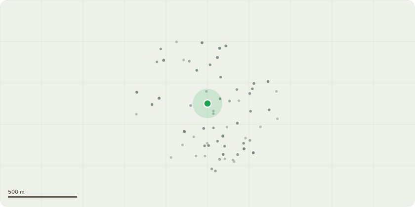
Approximate location
Proposal
SIDE: ONE Bay tree (T1)(ht.9m) FELL. Reason: tree works proposed to stop influence on the soil below building foundation of bay window and provide long term stability at 2 Westwood Park. FRONT (to The Hermitage): ONE Lime (T3)(ht.15m) FELL. Reason: tree works proposed to stop influence on the soil below building foundation level of front porch and provide long term stability at 2 Westwood Park. See informatives below which encourage alternative mitigation works to crown reduce Lime (T3) by 3m from ht.14m to ht.11m to previous points (ref DC/23/133364), remove Viburnum shrubs (SG3) near front porch, repair drains by front porch, address uneven foundations to front porch support columns.Informative A: Aviva Arboricultural Report (16 October 2023) which recommends felling Lime (T3), was made before the Geotechnical site investigation report (5 March 2024) identified both Tilia (Lime) and Viburnum roots as abundant to 2.8m depth in TP/BH3 by the front porch.Informative B: please crown reduce Lime (T3) to previous points, remove Viburnum shrub groups (SG3), repair broken and blocked drains A and B by front prorch, address uneven foundation depths to front porch support columns, and monitor to assess mitigation works.Informative C: to be aware the site is a sloping site at the bottom of a steep hill and a sink hole opened in 2023 in adjacent rear garden 6 Westwood Park. Informative D: site investigation reports: SubsNet level monitoring report (26 June 2025) shows slight level movement (4.9mm) in the front porch, compared to 15.5mm for the bay window with removal of Bay Tree (T1), SubsNet drainage report (6 October 2023) failed drain runs A and B by the front porch because they are cracked, displaced and obstructed by fine roots and water, SubsNet geotechnical report finds the front porch support columns have uneven foundations: 1.2m in TP1 and 700mm in TP/BH3 with groundwater strike at 3.4m depth in TP/ BH3.
Key dates
- Received 10 Jul 2025
- Validated 11 Jul 2025
- Started 11 Jul 2025
- Decided 20 Aug 2025
Planning history / related applications
No related planning applications have been identified in the current public OGL dataset.
Inside plotEdge
Go beyond the public record
This page is the public OGL record. plotEdge adds the private intelligence layer for this site - open it in the app to unlock:
- Ownership & title Registered owner and title from HM Land Registry.
- Viability & build potential Site scoring and development upside.
- Constraints Flood risk, green belt, conservation areas and designations.
- Approval signal Planning risk and approval-likelihood analysis.
- Comparable applications Decisions on similar nearby sites, side by side.
- Status alerts Get notified the moment this application changes.
Source: public planning application data from Lewisham, reused under the Open Government Licence v3.0. View the council source record. Council documents and drawings are not republished on plotEdge.