Lewisham
Lewisham/DC/25/140743
180A KIRKDALE, LONDON, SE26 4NW
- Reference
- Lewisham/DC/25/140743
- Authority
- Lewisham
- Address
- 180A KIRKDALE, LONDON, SE26 4NW
- Postcode
- SE26 4NW
- Status
- Unknown
- Decision
- Raise No Objection
- Received
- 9 Jul 2025
- Validated
- 3 Nov 2025
- Started
- 3 Nov 2025
- Decided
- 1 Dec 2025
- Source council
- Lewisham
- Council source record
- View public record
- Public data licence
- Open Government Licence v3.0
- Record updated
- 18 Jul 2026
- SEO index generated
- 24 Jul 2026
Location
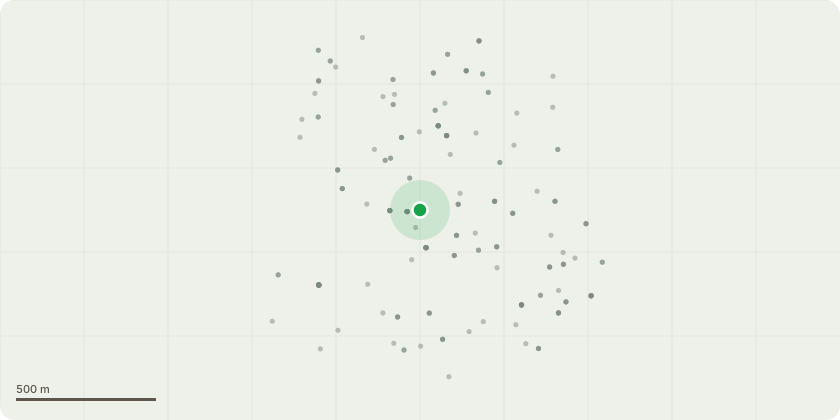
Approximate location
Proposal
FRONT: ONE Hawthorn (T0879)(ht.6m)(spread 5m) CROWN LIFT to 2.5m above ground. Reason: clearance to pavement, overhangs footpath. FRONT (centre): ONE Cypress (T0996)(ht.5m)(spread 3m) FELL. Reason: heavily ivy congested, no apparent upper crown, large stem wound from base to ht.2m on east aspect of stemFRONT (centre): ONE Privet (T0997)(ht.6m)(spread 6m) LATERAL REDUCE by 2-3m from 6m to 3-4mm on all compass points. Reason: cut back 9x Ligustrum stems, to kerb line to a height of 3-4m, due to lower crown encroachment over parking area. Informative A: to thank for retaining frontage trees and vegetation for amenity, wildlife, to reduce air pollution and shade to reduce increasingly high summer temperatures due to climate change. Informative B: please create habitat log piles with arisings for wildlife and biodiversity. Informative C: new tree planting is encouraged to replace felled trees where space allows for urban greening benefits.
Key dates
- Received 9 Jul 2025
- Validated 3 Nov 2025
- Started 3 Nov 2025
- Decided 1 Dec 2025
Planning history / related applications
No related planning applications have been identified in the current public OGL dataset.
Inside plotEdge
Go beyond the public record
This page is the public OGL record. plotEdge adds the private intelligence layer for this site - open it in the app to unlock:
- Ownership & title Registered owner and title from HM Land Registry.
- Viability & build potential Site scoring and development upside.
- Constraints Flood risk, green belt, conservation areas and designations.
- Approval signal Planning risk and approval-likelihood analysis.
- Comparable applications Decisions on similar nearby sites, side by side.
- Status alerts Get notified the moment this application changes.
Source: public planning application data from Lewisham, reused under the Open Government Licence v3.0. View the council source record. Council documents and drawings are not republished on plotEdge.