Lewisham
Lewisham/DC/25/140463
1 WALDRAM PARK ROAD, LONDON, SE23 2PW
- Reference
- Lewisham/DC/25/140463
- Authority
- Lewisham
- Address
- 1 WALDRAM PARK ROAD, LONDON, SE23 2PW
- Postcode
- SE23 2PW
- Status
- Decided
- Decision
- Granted
- Received
- 13 Jun 2025
- Validated
- 16 Jun 2025
- Started
- 16 Jun 2025
- Decided
- 14 Jul 2025
- Source council
- Lewisham
- Council source record
- View public record
- Public data licence
- Open Government Licence v3.0
- Record updated
- 18 Jul 2026
- SEO index generated
- 24 Jul 2026
Location
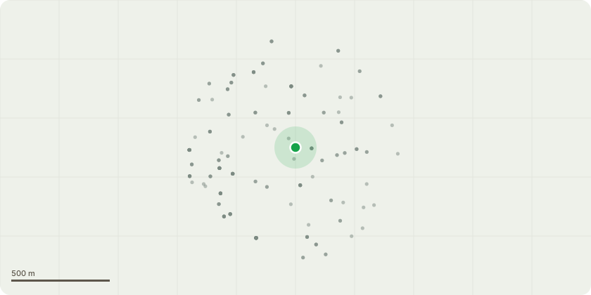
Approximate location
Proposal
An application submitted under Section 96a of the Town & Country Planning Act 1990 for a non-material amendment in connection with the planning permission (DC/18/106467) dated 28 March 2019, in order to allow:- Internal alterations to improve the means of escape by relocating the secondary escape staircase away from the main stair core; · Alterations to finished floor levels at all floor levels to incorporate blue roof and services, with increased parapet height at fifth floor level; Ground floor windows being raised 150mm above ground level; Secondary windows to the corresponding bedrooms across the corridor have been removed and replaced by stack bond recessed brick panels on this north elevation; Extra window at each floor to east elevation to serve relocated bedroom in this location; Rationalisation/configuration of windows and infill panels on south west corner elevation Replacement of the stone header details with a stacked brick bonding, Changing the stone banding to soldier course brickwork; · Changing the top parapet material from stone to aluminium capping. Change of balustrade design;Removal of stone panel features on east gable elevation Replacement of stone infill panels on west elevation with stack bond panel Reconfiguration of the bin store to the rear Addition of blue roof to green roof already proposed to the main roof Addition of blue/green to first floor rear section of roof at 1 Waldram Park Road SE23.
Key dates
- Received 13 Jun 2025
- Validated 16 Jun 2025
- Started 16 Jun 2025
- Decided 14 Jul 2025
Planning history / related applications
No related planning applications have been identified in the current public OGL dataset.
Inside plotEdge
Go beyond the public record
This page is the public OGL record. plotEdge adds the private intelligence layer for this site - open it in the app to unlock:
- Ownership & title Registered owner and title from HM Land Registry.
- Viability & build potential Site scoring and development upside.
- Constraints Flood risk, green belt, conservation areas and designations.
- Approval signal Planning risk and approval-likelihood analysis.
- Comparable applications Decisions on similar nearby sites, side by side.
- Status alerts Get notified the moment this application changes.
Source: public planning application data from Lewisham, reused under the Open Government Licence v3.0. View the council source record. Council documents and drawings are not republished on plotEdge.