Lewisham
Lewisham/DC/25/140263
8 ETON GROVE, LONDON, SE13 5BY
- Reference
- Lewisham/DC/25/140263
- Authority
- Lewisham
- Address
- 8 ETON GROVE, LONDON, SE13 5BY
- Postcode
- SE13 5BY
- Status
- Unknown
- Decision
- Raise No Objection
- Received
- 27 May 2025
- Validated
- 28 May 2025
- Started
- 28 May 2025
- Decided
- 18 Jul 2025
- Source council
- Lewisham
- Council source record
- View public record
- Public data licence
- Open Government Licence v3.0
- Record updated
- 18 Jul 2026
- SEO index generated
- 24 Jul 2026
Location
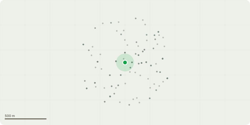
Approximate location
Proposal
REAR SIDE (18 Church Terrace): ONE Copper Beech (T1)(ht.9.5m) FELL. Reason: the tree is approximately 2m from rear left-hand corner of 8 Eton Grove, and is now causing structural damage to no.8's basement retaining wall and paving; the beech has dead and decaying wood from previous crown reduction cycle to reduce likelihood of failure, for building clearance and to manage light issues (ref DC/15/091210). Informative A: the replacement tree is greatly appreciated for amenity, wildlife and environmental benefits to mitigate the effects of climate change, suggested species: copper beech, purple Norway maple (Acer platanoides 'Crimson King'), Purple cherry plum (Prunus pissardii), Robinia, Whitebeam, Wild Service Tree, Golden Rain Tree/Pride of India (Koelreuteria paniculata), Japanese pagoda tree (Styphnolobium japonicum), Hackberry/ Nettle tree (Celtis australis), Kentucky Coffee Tree (Gymnocladus dioica), Bee-bee tree (Tetradium daniellii/Euodia hupehensis).Informative B: please create habitat log piles with arisings for wildlife and biodiversity.
Key dates
- Received 27 May 2025
- Validated 28 May 2025
- Started 28 May 2025
- Decided 18 Jul 2025
Planning history / related applications
No related planning applications have been identified in the current public OGL dataset.
Inside plotEdge
Go beyond the public record
This page is the public OGL record. plotEdge adds the private intelligence layer for this site - open it in the app to unlock:
- Ownership & title Registered owner and title from HM Land Registry.
- Viability & build potential Site scoring and development upside.
- Constraints Flood risk, green belt, conservation areas and designations.
- Approval signal Planning risk and approval-likelihood analysis.
- Comparable applications Decisions on similar nearby sites, side by side.
- Status alerts Get notified the moment this application changes.
Source: public planning application data from Lewisham, reused under the Open Government Licence v3.0. View the council source record. Council documents and drawings are not republished on plotEdge.