Lewisham
Lewisham/DC/25/139899
70 UPPER BROCKLEY ROAD, LONDON, SE4 1ST
- Reference
- Lewisham/DC/25/139899
- Authority
- Lewisham
- Address
- 70 UPPER BROCKLEY ROAD, LONDON, SE4 1ST
- Postcode
- SE4 1ST
- Status
- Unknown
- Decision
- Raise No Objection
- Received
- 2 May 2025
- Validated
- 1 May 2025
- Started
- 1 May 2025
- Decided
- 4 Jun 2025
- Source council
- Lewisham
- Council source record
- View public record
- Public data licence
- Open Government Licence v3.0
- Record updated
- 18 Jul 2026
- SEO index generated
- 24 Jul 2026
Location
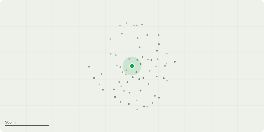
Approximate location
Proposal
FRONT: ONE Magnolia (T1)(ht.4m) LATERAL REDUCE radius by 3.9m from 4m on south compass point, CROWN THIN by 30%. Reason: clearance from building, alleviate light issues and potential damage to building.Informative A: while overhanging vegetation is proposed to be cut back to near the property boundary of no.72 with no.70, for amenity, tree aesthetics and tree health a lesser crown reduction on the south compass and lesser thin is encouraged to appropriate prune points to maintain a balanced crown within the frontage setting while managing clearance from windows. Informative B: a 6-week notice for the Magnolia has also been submitted by the tree owner (no.70) ref DC/25/140157, for height reduction by 1m from 4m to ht.3m and lateral reduction of radius by 1.5m from 4m to 2.5m on the south compass overhanging the front garden of no.72, to enable the Magnolia's canopy to re-establish after the removal of the adjacent conifer last year, ref DC/24/137231.Informative C: for any work to a neighbour's tree to which the council has no objection, it is for the applicant to get any necessary permission from the tree owner before carrying out the work beyond the applicant's boundary, (eg.for access onto a neighbour's land, or work within a neighbour's boundary).
Key dates
- Received 2 May 2025
- Validated 1 May 2025
- Started 1 May 2025
- Decided 4 Jun 2025
Planning history / related applications
No related planning applications have been identified in the current public OGL dataset.
Inside plotEdge
Go beyond the public record
This page is the public OGL record. plotEdge adds the private intelligence layer for this site - open it in the app to unlock:
- Ownership & title Registered owner and title from HM Land Registry.
- Viability & build potential Site scoring and development upside.
- Constraints Flood risk, green belt, conservation areas and designations.
- Approval signal Planning risk and approval-likelihood analysis.
- Comparable applications Decisions on similar nearby sites, side by side.
- Status alerts Get notified the moment this application changes.
Source: public planning application data from Lewisham, reused under the Open Government Licence v3.0. View the council source record. Council documents and drawings are not republished on plotEdge.