Lewisham
Lewisham/DC/25/139894
22 ST BARTHOLOMEW'S CLOSE, LONDON, SE26 6PH
- Reference
- Lewisham/DC/25/139894
- Authority
- Lewisham
- Address
- 22 ST BARTHOLOMEW'S CLOSE, LONDON, SE26 6PH
- Postcode
- SE26 6PH
- Status
- Unknown
- Decision
- Raise No Objection
- Received
- 24 Apr 2025
- Validated
- 25 Apr 2025
- Started
- 25 Apr 2025
- Decided
- 6 Jun 2025
- Source council
- Lewisham
- Council source record
- View public record
- Public data licence
- Open Government Licence v3.0
- Record updated
- 18 Jul 2026
- SEO index generated
- 24 Jul 2026
Location
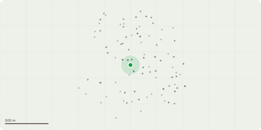
Approximate location
Proposal
REAR: ONE Oak (T6)(ht.17m) FELL. Reason: to combat subsidence damage to the rear single storey ground floor addition forming flat C at 180 Kirkdale to the rear. Informative A: the oak pre-dates St Bartholomew's Close and a structural engineer heave report is strongly encouraged due to the possibility if the oak is felled, of heave damage to property in St Bartholomew's Close. With a stem circumference of 68 inches the oak tree is approx.70+/80yrs old, while St Bartholomew's Close was built 35-40yrs ago. Informative B: the shallow 400mm foundations of the single storey addition are less than current foundation standards for clay soil, and structural movement is likely after the oak tree is felled. Please explore retaining the oak tree for ecosystem service benefits by using alternative mitigation ? either a flexible root barrier or underpinning the rear extension. Informative C: the agents agreement in email 3 June 2025 to plant a holly and a hazel on the rear boundary to replace the rear hawthorn and dead apple tree, is greatly appreciated - to be planted as light standards (6-8cm girth) during the next planting season: end Oct 2025- end March 2026, fitted with water bag and bark mulch surround, watering regime to fill the water bag fortnightly (beg April-end Sept) for 5 yrs to ensure the trees establish and thrive. Duty to replace applies for the dead apple and hawthorn, as without 5-day or 6-week notices.
Key dates
- Received 24 Apr 2025
- Validated 25 Apr 2025
- Started 25 Apr 2025
- Decided 6 Jun 2025
Planning history / related applications
No related planning applications have been identified in the current public OGL dataset.
Inside plotEdge
Go beyond the public record
This page is the public OGL record. plotEdge adds the private intelligence layer for this site - open it in the app to unlock:
- Ownership & title Registered owner and title from HM Land Registry.
- Viability & build potential Site scoring and development upside.
- Constraints Flood risk, green belt, conservation areas and designations.
- Approval signal Planning risk and approval-likelihood analysis.
- Comparable applications Decisions on similar nearby sites, side by side.
- Status alerts Get notified the moment this application changes.
Source: public planning application data from Lewisham, reused under the Open Government Licence v3.0. View the council source record. Council documents and drawings are not republished on plotEdge.