Lewisham
Lewisham/DC/25/139686
HABERDASHERS ASKES HATCHAM COLLEGE, PEPYS ROAD, LONDON, SE14 5SF
- Reference
- Lewisham/DC/25/139686
- Authority
- Lewisham
- Address
- HABERDASHERS ASKES HATCHAM COLLEGE, PEPYS ROAD, LONDON, SE14 5SF
- Postcode
- SE14 5SF
- Status
- Unknown
- Decision
- Granted
- Received
- 3 Apr 2025
- Validated
- 4 Apr 2025
- Started
- 4 Apr 2025
- Decided
- 27 Apr 2025
- Source council
- Lewisham
- Council source record
- View public record
- Public data licence
- Open Government Licence v3.0
- Record updated
- 18 Jul 2026
- SEO index generated
- 24 Jul 2026
Location
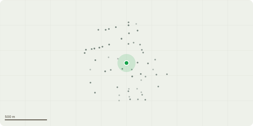
Approximate location
Proposal
FRONT (Vesta Rd): ONE Lime (T21)(ht.9m, spread 8m)(DBH 500mm) FELL. Reason: health & safety, dead branches falling onto well-used path by pupils accessing school buildings and play area, audible stem decay, brittle cinder fruiting bodies, previously topped, decay in stem pruning wound, tree survey for urgent fell. Duty to replace applies.Tree replanting - the school proposes one of the following near the area to replace T21: Field Maple, Silver Birch, Paper bark birch, Mountain Ash, Hawthorn.Informative A: Duty to replace applies and the school's intention to plant a replacement tree is greatly appreciated. To maintain the treed boundary fronting Vesta Road, replacement trees species to be selected from: Small Leaved Lime, Grey Alder, Italian Alder, Ginkgo, Sessile Oak, Field Maple. Informative B: retaining a safe standing high stump is encouraged for wildlife habitat and biodiversity.
Key dates
- Received 3 Apr 2025
- Validated 4 Apr 2025
- Started 4 Apr 2025
- Decided 27 Apr 2025
Planning history / related applications
No related planning applications have been identified in the current public OGL dataset.
Inside plotEdge
Go beyond the public record
This page is the public OGL record. plotEdge adds the private intelligence layer for this site - open it in the app to unlock:
- Ownership & title Registered owner and title from HM Land Registry.
- Viability & build potential Site scoring and development upside.
- Constraints Flood risk, green belt, conservation areas and designations.
- Approval signal Planning risk and approval-likelihood analysis.
- Comparable applications Decisions on similar nearby sites, side by side.
- Status alerts Get notified the moment this application changes.
Source: public planning application data from Lewisham, reused under the Open Government Licence v3.0. View the council source record. Council documents and drawings are not republished on plotEdge.