Lewisham
Lewisham/DC/25/139585
CEDARS CLOSE, BELMONT HILL, LONDON, SE13 5DP
- Reference
- Lewisham/DC/25/139585
- Authority
- Lewisham
- Address
- CEDARS CLOSE, BELMONT HILL, LONDON, SE13 5DP
- Postcode
- SE13 5DP
- Status
- Unknown
- Decision
- Granted
- Received
- 27 Mar 2025
- Validated
- 28 Mar 2025
- Started
- 28 Mar 2025
- Decided
- 11 Apr 2025
- Source council
- Lewisham
- Council source record
- View public record
- Public data licence
- Open Government Licence v3.0
- Record updated
- 18 Jul 2026
- SEO index generated
- 24 Jul 2026
Location
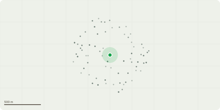
Approximate location
Proposal
FRONT: ONE dead Silver Birch (T1)(ht.4m)(spread 1m) FELL. Reason: dead tree located in the front communal lawn. Duty to replace applies. Previously granted fell (ref DC/24/134664 - dead birch T9).FRONT: ONE Elm (T2)(ht.5m)(spread 2m) FELL. Reason: collapsed partially uprooted on roadside boundary leaning over pavement on Belmont Hill, health and safety risk. Duty to replace applies. Informative A: duty to replace applies for dead birch (T1), see previous DC/24/134664 ? encourage specimen replacement tree for dead birch (T9) ? species such as Cedar, Tulip Tree, Japanese Pagoda Tree, sessile oak, Indian Horse Chestnut, Golden Rain tree (Koelreuteria paniculata), Robinia. Informative B: duty to replace applies for elm (T2), see previous DC/24/134664 ? duty to replace 10x roadside dead elm trees (G1,G2) with variety of species: hawthorn, field maple, rowan, holly, yew, hazel, sycamore, Holm oak, holly, oak, ash, wild cherry and resistant Elm.Informative C: please leave standing dead stems where safe to do so, and create habitat log piles with arisings for wildlife and biodiversity.
Key dates
- Received 27 Mar 2025
- Validated 28 Mar 2025
- Started 28 Mar 2025
- Decided 11 Apr 2025
Planning history / related applications
No related planning applications have been identified in the current public OGL dataset.
Inside plotEdge
Go beyond the public record
This page is the public OGL record. plotEdge adds the private intelligence layer for this site - open it in the app to unlock:
- Ownership & title Registered owner and title from HM Land Registry.
- Viability & build potential Site scoring and development upside.
- Constraints Flood risk, green belt, conservation areas and designations.
- Approval signal Planning risk and approval-likelihood analysis.
- Comparable applications Decisions on similar nearby sites, side by side.
- Status alerts Get notified the moment this application changes.
Source: public planning application data from Lewisham, reused under the Open Government Licence v3.0. View the council source record. Council documents and drawings are not republished on plotEdge.