Lewisham
Lewisham/DC/25/139390
FORMER LEWISHAM COLLEGE, 1 DEPTFORD BRIDGE, LONDON, SE8 4HH
- Reference
- Lewisham/DC/25/139390
- Authority
- Lewisham
- Address
- FORMER LEWISHAM COLLEGE, 1 DEPTFORD BRIDGE, LONDON, SE8 4HH
- Postcode
- SE8 4HH
- Status
- Registered
- Received
- 31 Mar 2025
- Started
- 31 Mar 2025
- Source council
- Lewisham
- Council source record
- View public record
- Public data licence
- Open Government Licence v3.0
- Record updated
- 18 Jul 2026
- SEO index generated
- 24 Jul 2026
Location
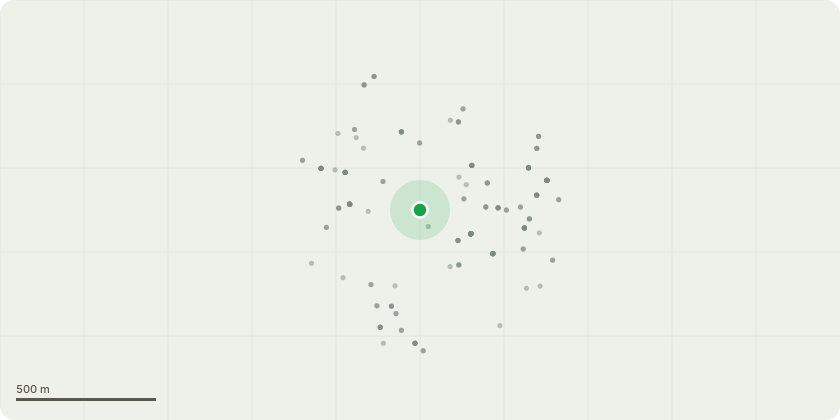
Approximate location
Proposal
RE-CONSULTATION:- Planning application for the demolition of existing buildings and construction of buildings ranging from 1 to 31 storeys for residential (Class C3) and flexible Class E, local community (Class F2), education (Class F1), and drinking establishment (Sui Generis) use; cycle parking and facilities, landscaping and highway improvements, servicing and plant and all other ancillary and associated works at Former Lewisham College, 1 Deptford Bridge SE8. (This application is an EIA development and is accompanied by an Environmental Statement). (This is a cross-borough application with the Royal Borough of Greenwich, their reference: 25/0798/F.)The scheme as a whole provides 802 C3 residential homes across both boroughs (down from 903 C3 homes originally proposed). This equates to 548 C3 homes in LBL (down from 597 C3 homes), and 254 C3 residential homes in RBG (down from 306 C3 homes originally proposed).The scheme's non-commercial floorspace has lowered from 8,713m2 GIA to 8,571m2, made up of 5,213m2 GIA Education (Class F1), 508m2 GIA Retail (Class E (a), 841m2 GIA Food and Beverage (Class E (b)/Sui Generis), 1579m2 GIA Workspace (Class E (c/g)) and 430m2 GIA Shared Back of House - (5,213m2 non-residential floorspace within LBL, and 3,358m2 non-residential floorspace within RBG).The proposed building heights and massing are further clarified below, including the ground floors; Building A is 30 storeys, Building B is 7 ? 11 storeys, Building C is 15 storeys and Building D is 18 storeys (These are all based in LBL).Building E is 19 storeys (reduced from 24 storeys originally submitted), Building F is 10 storeys, Building G is 10 storeys and Building H is 1 storey (These are all based in RBG).Please note these heights are a storey lower than stated in the associated Press Notice and Neighbour consultation letters
Key dates
- Received 31 Mar 2025
- Started 31 Mar 2025
Planning history / related applications
No related planning applications have been identified in the current public OGL dataset.
Inside plotEdge
Go beyond the public record
This page is the public OGL record. plotEdge adds the private intelligence layer for this site - open it in the app to unlock:
- Ownership & title Registered owner and title from HM Land Registry.
- Viability & build potential Site scoring and development upside.
- Constraints Flood risk, green belt, conservation areas and designations.
- Approval signal Planning risk and approval-likelihood analysis.
- Comparable applications Decisions on similar nearby sites, side by side.
- Status alerts Get notified the moment this application changes.
Source: public planning application data from Lewisham, reused under the Open Government Licence v3.0. View the council source record. Council documents and drawings are not republished on plotEdge.