Lewisham
Lewisham/DC/25/138991
BARING HALL HOTEL, 368 BARING ROAD, LONDON, SE12 0DU
- Reference
- Lewisham/DC/25/138991
- Authority
- Lewisham
- Address
- BARING HALL HOTEL, 368 BARING ROAD, LONDON, SE12 0DU
- Postcode
- SE12 0DU
- Status
- Decided
- Decision
- Granted
- Received
- 10 Feb 2025
- Validated
- 3 Mar 2025
- Started
- 3 Mar 2025
- Decided
- 31 Oct 2025
- Source council
- Lewisham
- Council source record
- View public record
- Public data licence
- Open Government Licence v3.0
- Record updated
- 18 Jul 2026
- SEO index generated
- 24 Jul 2026
Location
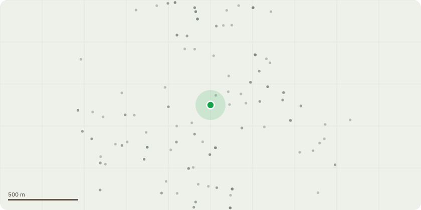
Approximate location
Proposal
An application submitted under Section 73 of the Town and Country Planning Act 1990 for Minor Material Amendments in connection with the planning permission DC/24/135390 dated 4 November 2024:- in order to allow to change the wording of Condition 4 Scheme of Development to say:Phasing Plan - No works of demolition, or alteration by way of full or partial demolition shall occur to the Main building or the Stable block until a specific programme of phasing works has been submitted to and approved by the Local Planning Authority in writing.Unless otherwise previously agreed in writing by the local planning authority no works of demolition, or alteration by way of partial demolition, to the Main building or Stable block shall begin before evidence has been submitted to the Local Planning Authority of a binding contract for the full implementation of the comprehensive scheme of development including re-construction of the Stable block.The Stable block external walls, roof, and first floor structure must be re-constructed to at least shell-and-core in line with the permitted scheme within 24 months of the Main building being first occupied unless revisions are approved in writing by the LPA.at Baring Hall Hotel at 368 Baring Road SE12 (amended description)
Key dates
- Received 10 Feb 2025
- Validated 3 Mar 2025
- Started 3 Mar 2025
- Decided 31 Oct 2025
Planning history / related applications
No related planning applications have been identified in the current public OGL dataset.
Inside plotEdge
Go beyond the public record
This page is the public OGL record. plotEdge adds the private intelligence layer for this site - open it in the app to unlock:
- Ownership & title Registered owner and title from HM Land Registry.
- Viability & build potential Site scoring and development upside.
- Constraints Flood risk, green belt, conservation areas and designations.
- Approval signal Planning risk and approval-likelihood analysis.
- Comparable applications Decisions on similar nearby sites, side by side.
- Status alerts Get notified the moment this application changes.
Source: public planning application data from Lewisham, reused under the Open Government Licence v3.0. View the council source record. Council documents and drawings are not republished on plotEdge.