Lewisham
Lewisham/DC/25/138916
8 HANDEN ROAD, LONDON, SE12 8NP
- Reference
- Lewisham/DC/25/138916
- Authority
- Lewisham
- Address
- 8 HANDEN ROAD, LONDON, SE12 8NP
- Postcode
- SE12 8NP
- Status
- Unknown
- Decision
- Raise No Objection
- Received
- 4 Feb 2025
- Validated
- 14 Feb 2025
- Started
- 14 Feb 2025
- Decided
- 21 Mar 2025
- Source council
- Lewisham
- Council source record
- View public record
- Public data licence
- Open Government Licence v3.0
- Record updated
- 18 Jul 2026
- SEO index generated
- 24 Jul 2026
Location
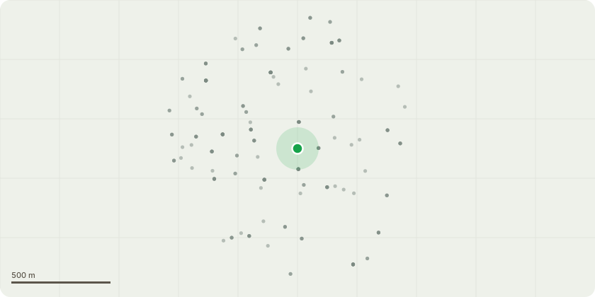
Approximate location
Proposal
REAR: ONE Ash (T1)(ht.17m) CROWN REDUCE HEIGHT by 2m from 17m to 15m, CROWN REDUCE RADIUS by 1m from 2m to 1m on all compass points (crown diameter 4m to 2m) as annotated photographs of crown reduction in agent's email 26.2.25. Reason: remove canopy deadwood and crossing branches to maintain a balanced healthy canopy.REAR: ONE Ash (T2)(ht.17m) CROWN REDUCE HEIGHT by 3m from 17m to 14m, CROWN REDUCE RADIUS by 1m from 2m to 1m on all compass points (crown diameter 4m to 2m) as annotated photographs of crown reduction in agent's email 26.2.25. Reason: remove canopy deadwood and crossing branches to maintain a balanced healthy canopy.REAR: ONE Ash (T3)(ht.16m) CROWN REDUCE HEIGHT by 2m from 16m to 14m, CROWN REDUCE RADIUS by 1m from 2m to 1m on all compass points (crown diameter 4m to 2m) as annotated photographs of crown reduction in agent's email 26.2.25. Reason: remove canopy deadwood and crossing branches to maintain a balanced healthy canopy. REAR: ONE Ash (T4)(ht.17m) CROWN REDUCE HEIGHT by 2m from 17m to 15m, CROWN REDUCE RADIUS by 1m from 2m to 1m on all compass points (crown diameter 4m to 2m) as annotated photographs of crown reduction in agent's email 26.2.25. Reason: remove canopy deadwood and crossing branches to maintain a balanced healthy canopy. REAR: ONE Ash (T5)(ht.17m) CROWN REDUCE HEIGHT by 3m from 71m to 14m, CROWN REDUCE RADIUS by 1m from 2m to 1m on all compass points (crown diameter 4m to 2m) as annotated photographs of crown reduction in agent's email 26.2.25. Reason: remove canopy deadwood and crossing branches to maintain a balanced healthy canopy. REAR: ONE Ash (T6)(ht.16m) CROWN REDUCE HEIGHT by 2m from 16m to 14m, CROWN REDUCE RADIUS by 1m from 2m to 1m on all compass points (crown diameter 4m to 2m) as annotated photographs of crown reduction in agent's email 26.2.25. Reason: remove canopy deadwood and crossing branches to maintain a balanced healthy canopy. REAR: ONE Ash (T7)(ht.17m) CROWN REDUCE HEIGHT by 2m from 17m to 15m, CROWN REDUCE RADIUS by 1m from 2m to 1m on all compass points (crown diameter 4m to 2m) as annotated photographs of crown reduction in agent's email 26.2.25. Reason: remove canopy deadwood and crossing branches to maintain a balanced healthy canopy. REAR: ONE Dead Sycamore (T8)(ht.8m) FELL. Reason: sycamore is dead, tree replanting proposal - to replant with either a mountain Ash or a Silver birch, planted in close proximity to T8. Duty to replace applies.Informative A: the sensitive crown reductions as annotated images received 26.2.25 are greatly appreciated to retain tree amenity seen side view from Handen Road across surgery car park, for rear outlook amenity and long term tree health; Informative B: the replacement tree for dead sycamore T8 (under duty to replace) is greatly appreciated for the urban forest, rear amenity, wildlife and environmental benefits - rowan has uncertain long-term survival rates locally, and alternative species are suggested such as wild cherry, field maple, wild service tree, alder, hackberry, Zelkova, Nothofagus, Golden Rain Tree/Pride of India (Koelreuteria paniculata); Informative C: please create habitat log piles with arisings for wildlife and biodiversity;Informative D: understory trees & shrubs are encouraged for amenity and wildlife such as Magnolia Kobus, Hawthorn, Cornus Kousa, Katsura Tree, holly, Drimys winteri, Viburnum rhytidophyllum, Elaeagnus x ebbingei, Osmanthus x burkwoodii.
Key dates
- Received 4 Feb 2025
- Validated 14 Feb 2025
- Started 14 Feb 2025
- Decided 21 Mar 2025
Planning history / related applications
No related planning applications have been identified in the current public OGL dataset.
Inside plotEdge
Go beyond the public record
This page is the public OGL record. plotEdge adds the private intelligence layer for this site - open it in the app to unlock:
- Ownership & title Registered owner and title from HM Land Registry.
- Viability & build potential Site scoring and development upside.
- Constraints Flood risk, green belt, conservation areas and designations.
- Approval signal Planning risk and approval-likelihood analysis.
- Comparable applications Decisions on similar nearby sites, side by side.
- Status alerts Get notified the moment this application changes.
Source: public planning application data from Lewisham, reused under the Open Government Licence v3.0. View the council source record. Council documents and drawings are not republished on plotEdge.