Lewisham
Lewisham/DC/25/138902
98 EMBLETON ROAD, LONDON, SE13 7DG
- Reference
- Lewisham/DC/25/138902
- Authority
- Lewisham
- Address
- 98 EMBLETON ROAD, LONDON, SE13 7DG
- Postcode
- SE13 7DG
- Status
- Unknown
- Decision
- Raise No Objection
- Received
- 3 Feb 2025
- Validated
- 19 Feb 2025
- Started
- 19 Feb 2025
- Decided
- 16 Mar 2025
- Source council
- Lewisham
- Council source record
- View public record
- Public data licence
- Open Government Licence v3.0
- Record updated
- 18 Jul 2026
- SEO index generated
- 24 Jul 2026
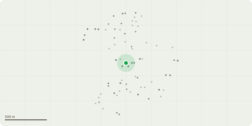
Location
Approximate location
Proposal
REAR: ONE Lime (T1)(ht.8-9m) FELL and replace with 12-14cm heavy standard. Reasons: unsuitable location for species close to boundary landscaping and building extension ref DC/24/138157, inadequate space to allow the tree to reach mature size requiring cyclical pruning.REAR: ONE Prunus (T2)(ht.5m) FELL. Reasons: poor form, ivy clad, poor shape, small tree.Informative A: the proposed voluntary replacement trees, shrubs and perennials, suggest also include climbers, are greatly appreciated for amenity and biodiversity.Informative B: suggested replacement tree species such as crab apple, Amelanchier, pear, Harlequin Glorybower (Clerodendrum trichotomum), Paperbark maple, Quince (Cydonia oblonga), Bird cherry, hawthorn, Japanese Snowbell (Styrax japonicus), Chinese fringe tree (Chionanthus retusus), Magnolia loebneri, Orange-barked Myrtle (Myrtus apiculate), Seven-son tree (Heptacodium miconioides). Informative C: to remind of watering regime to ensure new trees survive and thrive by drenching roots fortnightly beg April-end Sept, for 5 years.Informative D: to enhance wildlife and biodiversity further if possible please retain felled timber on site, as high stump, large length of tree trunk lying on the ground, habitat log piles, install a green roof on the flat roof extension (ref DC/24/138157).
Key dates
- Received 3 Feb 2025
- Validated 19 Feb 2025
- Started 19 Feb 2025
- Decided 16 Mar 2025
Planning history / related applications
No related planning applications have been identified in the current public OGL dataset.
Inside plotEdge
Go beyond the public record
This page is the public OGL record. plotEdge adds the private intelligence layer for this site - open it in the app to unlock:
- Ownership & title Registered owner and title from HM Land Registry.
- Viability & build potential Site scoring and development upside.
- Constraints Flood risk, green belt, conservation areas and designations.
- Approval signal Planning risk and approval-likelihood analysis.
- Comparable applications Decisions on similar nearby sites, side by side.
- Status alerts Get notified the moment this application changes.
Source: public planning application data from Lewisham, reused under the Open Government Licence v3.0. View the council source record. Council documents and drawings are not republished on plotEdge.