Lewisham
Lewisham/DC/25/138826
54 WOOD VALE, LONDON, SE23 3ED
- Reference
- Lewisham/DC/25/138826
- Authority
- Lewisham
- Address
- 54 WOOD VALE, LONDON, SE23 3ED
- Postcode
- SE23 3ED
- Status
- Unknown
- Decision
- Raise No Objection
- Received
- 27 Jan 2025
- Validated
- 24 Feb 2025
- Started
- 24 Feb 2025
- Decided
- 21 Mar 2025
- Source council
- Lewisham
- Council source record
- View public record
- Public data licence
- Open Government Licence v3.0
- Record updated
- 18 Jul 2026
- SEO index generated
- 24 Jul 2026
Location
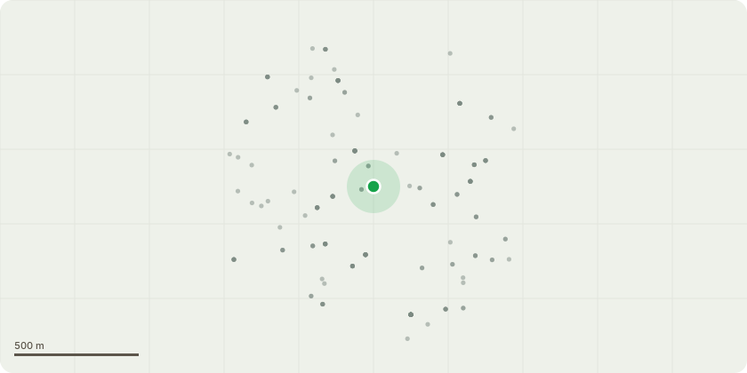
Approximate location
Proposal
REAR: ONE Bay (T1)(ht.4m) FELL to ground and remove stump. Reason: The tree has bolted and is becoming too Large.REAR: ONE Pear (T2)(ht.5m) CROWN REDUCE HEIGHT by 1m from 5m to 4m, REDUCE RADIUS by 1m from 5m to 4m on all compass points. Reason: General maintenance, reduce vertical growth.REAR: ONE Apple (T3)(ht.4m) CROWN THIN by 20%, CROWN REDUCE HEIGHT by 0.5m from 4m to 3.5m, REDUCE RADIUS by 0.5m from 4m to 3.5m on all compass points. Reason: Reduce shoots to open crown and encourage good growth and fruit production.REAR: ONE Cotoneaster (T4)(ht.4m) CROWN REDUCE HEIGHT by 1m from 4m to 3m, LATERAL REDUCTION by 2m from 5m to 3m on W & N compass points. Reason: Reduce back limbs extending towards house and over lawn to give a balance and more compact shape.REAR: ONE Cherry (T5)(ht.5m) CROWN THIN by 20%, CROWN REDUCE HEIGHT by 1.5m from 5m to 3.5m , REDUCE RADIUS by 1.5m from 5m to 3.5m on all compass points. Reason: Reduce shoots to open crown and encourage good growth and fruit production. REAR (no.52): ONE Sycamore (T6)(ht.12m) LATERAL REDUCTION of lowest branch by 3m from 5m to 2m on N compass point. Reason: Cut back branches encroaching on our garden and the shed.REAR NATURE TRAIL: ONE Oak (T7)(ht.15m) LATERAL REDUCTION by 3m from 5m to 2m on N & SW compass points. Reason: Cut back branches encroaching on our garden.Informative A: native tree planting is encouraged in the garden to support the woodland, wildlife and green infrastructure of the Horniman Nature trail to the rear, species such as field maple, whitebeam, wild service tree, hawthorn, hazel, alder buckthorn, bird cherry, holly, wild cherry. Informative B: please create habitat log piles with some arisings for wildlife and biodiversity.
Key dates
- Received 27 Jan 2025
- Validated 24 Feb 2025
- Started 24 Feb 2025
- Decided 21 Mar 2025
Planning history / related applications
No related planning applications have been identified in the current public OGL dataset.
Inside plotEdge
Go beyond the public record
This page is the public OGL record. plotEdge adds the private intelligence layer for this site - open it in the app to unlock:
- Ownership & title Registered owner and title from HM Land Registry.
- Viability & build potential Site scoring and development upside.
- Constraints Flood risk, green belt, conservation areas and designations.
- Approval signal Planning risk and approval-likelihood analysis.
- Comparable applications Decisions on similar nearby sites, side by side.
- Status alerts Get notified the moment this application changes.
Source: public planning application data from Lewisham, reused under the Open Government Licence v3.0. View the council source record. Council documents and drawings are not republished on plotEdge.