Lewisham
Lewisham/DC/24/138540
JOHN BALL PRIMARY SCHOOL, SOUTHVALE ROAD, LONDON, SE3 0TP
- Reference
- Lewisham/DC/24/138540
- Authority
- Lewisham
- Address
- JOHN BALL PRIMARY SCHOOL, SOUTHVALE ROAD, LONDON, SE3 0TP
- Postcode
- SE3 0TP
- Status
- Unknown
- Decision
- Raise No Objection
- Received
- 23 Dec 2024
- Validated
- 16 Jan 2025
- Started
- 16 Jan 2025
- Decided
- 14 Feb 2025
- Source council
- Lewisham
- Council source record
- View public record
- Public data licence
- Open Government Licence v3.0
- Record updated
- 18 Jul 2026
- SEO index generated
- 24 Jul 2026
Location
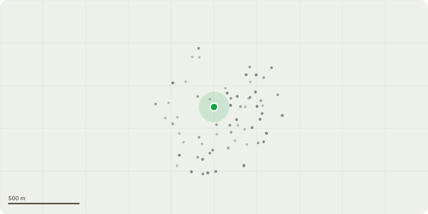
Approximate location
Proposal
REAR (north boundary): One Ash (G12a)(ht.12m) FELL. Reason: poor twisted form, including bifurcated union at the base of the tree.REAR (north boundary): ONE Ash (T8)(ht.6m) FELL. Reason: asymmetric crown leaning with branches hanging over the adjacent building.REAR (north boundary): ONE Lime (T14)(ht.12m) CROWN LIFT to 4m above ground. Reason: proximity to building, remove stem epicormics in conflict with building.REAR (north boundary): ONE Ash (T18)(ht.10m) FELL. Reason: asymmetrical crown with dieback.REAR (Baisdon Rd flats rear access road): ONE Ash (T46)(18m) FELL. Reason: health & safety, metal fence through stem, adjacent to maple with intertwined branches, Ash bracket fungus within all buttress at the base of the tree, on raised ground above access road, childrens woodland play area. Cordwood to be left as eco-piles. REAR (Baisdon Rd flats rear access road): ONE Lime (T50)(ht.6m) CROWN REDUCE HEIGHT by 2m from 6m to 4m. Reason: previously reduced, tree is a single trunk heavily decaying at the top - all crown is formed from epicormic growth which we will be removing and eco-piling for safety reasons as this is a nature walk for the children at the school.REAR (by playground): ONE Ash (T59)(ht.15m) LATERAL REDUCE by 7m from 7m to 0m. Reason: to remove faulted limb. FRONT (corner Baisdon Rd/Hurren Cl): ONE Sycamore (T95)(ht.10m) CROWN LIFT to 3m. Reason: remove epicormic growth protruding through the school fence. FRONT (Baisdon Rd): ONE Ash (T105)(ht.10m) FELL. Reason: significant decay and cavity in the main stem.REAR (north boundary): ONE Prunus(T110)(ht.6m) LATERAL REDUCE by 1m from 3m to 2m. Reason: prune back to allow a clearance of 1m with adjacent building.Informative A: huge thank you for sensitive tree management for safety, wildlife habitat and biodiversity within the treed school grounds, such as by crown reducing to retain T50 and creating log piles from felled T46. Reducing T40 and T105 to safe high stumps for wildlife & biodiversity is encouraged. Informative B: please allow natural regeneration on the north boundary and replace T46 to maintain in the long-term the treed setting to the school grounds and connected habitat.
Key dates
- Received 23 Dec 2024
- Validated 16 Jan 2025
- Started 16 Jan 2025
- Decided 14 Feb 2025
Planning history / related applications
No related planning applications have been identified in the current public OGL dataset.
Inside plotEdge
Go beyond the public record
This page is the public OGL record. plotEdge adds the private intelligence layer for this site - open it in the app to unlock:
- Ownership & title Registered owner and title from HM Land Registry.
- Viability & build potential Site scoring and development upside.
- Constraints Flood risk, green belt, conservation areas and designations.
- Approval signal Planning risk and approval-likelihood analysis.
- Comparable applications Decisions on similar nearby sites, side by side.
- Status alerts Get notified the moment this application changes.
Source: public planning application data from Lewisham, reused under the Open Government Licence v3.0. View the council source record. Council documents and drawings are not republished on plotEdge.