Lewisham
Lewisham/DC/24/138403
MALLING, LEWISHAM PARK, LONDON, SE13 6QL
- Reference
- Lewisham/DC/24/138403
- Authority
- Lewisham
- Address
- MALLING, LEWISHAM PARK, LONDON, SE13 6QL
- Postcode
- SE13 6QL
- Status
- Unknown
- Decision
- Raise No Objection
- Received
- 9 Dec 2024
- Validated
- 23 Jan 2025
- Started
- 23 Jan 2025
- Decided
- 20 Jan 2025
- Source council
- Lewisham
- Council source record
- View public record
- Public data licence
- Open Government Licence v3.0
- Record updated
- 18 Jul 2026
- SEO index generated
- 24 Jul 2026
Location
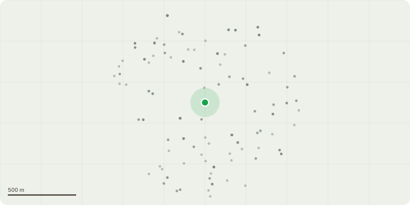
Approximate location
Proposal
FRONT (Kemsley): ONE Holm Oak (T5245)(ht.10m) CROWN LIFT to 2.5m above ground. Reason: pavement, access & street lamp clearanceSOUTH SIDE (Bredgar): ONE Multi-stem Birch (T0066nt)(ht.9m) FELL. Reason: In decline/dead, duty to replace applies. Replanting proposal: Betula papyrifera, in grass area nearby to aid establishment. NORTH SIDE (Kemsley): ONE Birch (T0056nt)(ht.9m) CROWN LIFT to 2.5m above ground. Reason: For highway & street lamp clearance.FRONT (Kemsley): ONE Honey Locust (T5244)(ht.12m) CROWN REDUCE HEIGHT by 4m from 12m to 8m and LATERALS by 3m from 8m to 5m. Reason: general maintenance.NORTH SIDE (Malling): ONE Prunus (Cherry Variety) (T9409nt)(ht.3m) FELL. Reason: Dead tree, duty to replace applies. Replanting proposal: Prunus avium - same location.SOUTH SIDE (Kemsley): ONE Golden Acacia (T0060nt)(ht.12-14m) CROWN LIFT to 2.5m above ground. Reason: For highway & street lamp clearance.NORTH SIDE (Malling): ONE Wild Cherry (T0096nt)(ht.6m) CROWN LIFT to 2.5m above ground. Reason: access & street lamp clearance.Informative A: the 2x replacement trees with like for like species under duty to replace is greatly appreciated for amenity, wildlife, wellbeing and environmental benefits. Informative B: for replacement trees suggest double staking, clearing grass from around base of new trees, add bark mulch surround and water bags to assist regular irrigation and avoid mowing damage to stems.
Key dates
- Received 9 Dec 2024
- Validated 23 Jan 2025
- Started 23 Jan 2025
- Decided 20 Jan 2025
Planning history / related applications
No related planning applications have been identified in the current public OGL dataset.
Inside plotEdge
Go beyond the public record
This page is the public OGL record. plotEdge adds the private intelligence layer for this site - open it in the app to unlock:
- Ownership & title Registered owner and title from HM Land Registry.
- Viability & build potential Site scoring and development upside.
- Constraints Flood risk, green belt, conservation areas and designations.
- Approval signal Planning risk and approval-likelihood analysis.
- Comparable applications Decisions on similar nearby sites, side by side.
- Status alerts Get notified the moment this application changes.
Source: public planning application data from Lewisham, reused under the Open Government Licence v3.0. View the council source record. Council documents and drawings are not republished on plotEdge.