Lewisham
Lewisham/DC/24/138379
14 GARLIES ROAD, LONDON, SE23 2RT
- Reference
- Lewisham/DC/24/138379
- Authority
- Lewisham
- Address
- 14 GARLIES ROAD, LONDON, SE23 2RT
- Postcode
- SE23 2RT
- Status
- Unknown
- Decision
- Granted
- Received
- 5 Dec 2024
- Validated
- 6 Dec 2024
- Started
- 6 Dec 2024
- Decided
- 9 Sept 2025
- Source council
- Lewisham
- Council source record
- View public record
- Public data licence
- Open Government Licence v3.0
- Record updated
- 18 Jul 2026
- SEO index generated
- 24 Jul 2026
Location
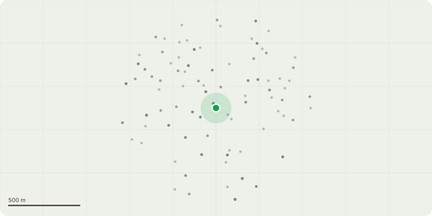
Approximate location
Proposal
REAR: ONE Oak (T4,T45 in TPO)(ht.19m) FELL. Reason: tree works are proposed as a remedy to the differential foundation movement in rear conservatory at no.12 to ensure the long-term stability of the buildingThe London Borough of Lewisham (Garlies Road/Allenby Road/1-45 Perry Rise/Rear of Houston Road) Tree Preservation Order 1976Informative: alternative mitigation to retain the oak is encouraged such as a flexible copper impreganated root barrier, underpinning, or a 70% Hortlink reduction to retain some amenity, wildlife habitat and biodiversity of the oak tree estimated to be 200-250yrs old (stem diameter 1.5m, circumference 4.5m), as roots found only under one of the trial pit/boreholes, with water strike/standing water at 1m found in the other trial pit/borehole, and different foundation depths to the conservatory.Informative: a heave assessment is strongly advised as the 200-250yr old oak tree predates the 20yr conservatory, houses no.12 and no.14 built early 1900s, no.12's brick garage built 1930s, no.14's garage built 2002.Condition: a replacement tree is required with a large canopy tree species, such as Hornbeam in the NHBC low water demand list. (see further details below)
Key dates
- Received 5 Dec 2024
- Validated 6 Dec 2024
- Started 6 Dec 2024
- Decided 9 Sept 2025
Planning history / related applications
No related planning applications have been identified in the current public OGL dataset.
Inside plotEdge
Go beyond the public record
This page is the public OGL record. plotEdge adds the private intelligence layer for this site - open it in the app to unlock:
- Ownership & title Registered owner and title from HM Land Registry.
- Viability & build potential Site scoring and development upside.
- Constraints Flood risk, green belt, conservation areas and designations.
- Approval signal Planning risk and approval-likelihood analysis.
- Comparable applications Decisions on similar nearby sites, side by side.
- Status alerts Get notified the moment this application changes.
Source: public planning application data from Lewisham, reused under the Open Government Licence v3.0. View the council source record. Council documents and drawings are not republished on plotEdge.