Lewisham
Lewisham/DC/24/138272
HORNIMAN MUSEUM AND GARDENS, 100 LONDON ROAD, LONDON, SE23 3PQ
- Reference
- Lewisham/DC/24/138272
- Authority
- Lewisham
- Address
- HORNIMAN MUSEUM AND GARDENS, 100 LONDON ROAD, LONDON, SE23 3PQ
- Postcode
- SE23 3PQ
- Status
- Unknown
- Decision
- Raise No Objection
- Received
- 26 Nov 2024
- Validated
- 4 Dec 2024
- Started
- 4 Dec 2024
- Decided
- 15 Jan 2025
- Source council
- Lewisham
- Council source record
- View public record
- Public data licence
- Open Government Licence v3.0
- Record updated
- 18 Jul 2026
- SEO index generated
- 24 Jul 2026
Location
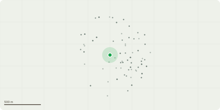
Approximate location
Proposal
SIDE (of main entrance drive): ONE Horse chestnut (T147)(ht.7m) FELL. Reason: Work undertaken to prevent any health & safety issues in the future. Another native tree will be planted as a replacement. REAR (works area): ONE Oak (T173)(ht.16m) LATERAL REDUCE (dead limb) by 8m from 8m to 0m on S compass point (exempt works), CROWN LIFT to 5m above ground. Reason: leans over garden works area, to prevent any health & safety issues in the future. REAR (Conservatory): ONE Beech (T165)(ht.18m) CROWN REDUCE HEIGHT by 3m from 18m to 15m, REDUCE LATERAL SPREAD by 3m from 14m to 11m. Reason: Major dieback in crown, reduction to suitable prune points to instigate new growth, maintain natural aesthetic, mitigate likelihood of failure.REAR (Surrey Mount): ONE Sycamore (T180)(ht.12m) FELL. Reason: extensive decay in the lower stem, adj works area and Surrey Mount properties, work to prevent any health & safety issues in the future. Another native tree will be planted as a replacement. REAR (Cleeve Hill): ONE Sycamore (T192)(ht.20m) LATERAL REDUCE by 3m from 12m to 9m on E compass point. Reason: Reduction to reduce weight loading on an over extended limb, pruning to suitable points and maintaining natural aesthetic. NORTH ENTRANCE (Horniman Drive): ONE Ash (T199)(ht.16m) CROWN REDUCE HEIGHT by 2m from 16m to 14m, REDUCE LATERAL SPREAD by 2m from 14m to 12m. Reason: some dieback in crown, pruning to suitable points to maintain natural aesthetic, and mitigate likelihood of failure. (Champion Tree on The Tree Register ? trees which are either tallest or largest trunk circumference of their type).SIDE (by nature trail): ONE Sorbus (T1004)(ht.6m) FELL. Reason: extensive decay in the lower stem that compromises the strength of the stem, work to prevent any health & safety issues in the future. Another native tree will be planted as a replacement.CENTRAL (nr boating lake): ONE Willow (T049)(ht.16m) CROWN REDUCE HEIGHT by 3m from 16m to 13m, REDUCE LATERAL SPREAD by 3m from 14m to 11m. Reason: old pollard, dieback in crown, reduction to shape canopy, pruning to suitable points, maintain natural aesthetic, to mitigate likelihood of failure and instigate new growth. FRONT (nr London Rd): ONE Beech (Unnumbered)(ht.8m) CROWN REDUCE HEIGHT by 2m from 8m to 6m. Reason: to remove the main leader which has died, the rest of the canopy will remain untouched.All works listed below were raised as priority 3 works in a report created by Hayden's Arboricultural Consultants in September 2023. Informative A: the replacement trees for T147,T180,T1004 are most welcome, suggest consider a non-native for horse chestnut T147 by main entrance drive for arboretum character and climate change resilience. Informative B: Ash T199 at the north entrance to Horniman Drive is a champion tree in The Tree Register and encourage improving the rooting environment by amending the surrounding hard surfacing to support the health of this highly visually significant tree. Informative C: please create habitat log piles with arisings for wildlife and biodiversity.
Key dates
- Received 26 Nov 2024
- Validated 4 Dec 2024
- Started 4 Dec 2024
- Decided 15 Jan 2025
Planning history / related applications
No related planning applications have been identified in the current public OGL dataset.
Inside plotEdge
Go beyond the public record
This page is the public OGL record. plotEdge adds the private intelligence layer for this site - open it in the app to unlock:
- Ownership & title Registered owner and title from HM Land Registry.
- Viability & build potential Site scoring and development upside.
- Constraints Flood risk, green belt, conservation areas and designations.
- Approval signal Planning risk and approval-likelihood analysis.
- Comparable applications Decisions on similar nearby sites, side by side.
- Status alerts Get notified the moment this application changes.
Source: public planning application data from Lewisham, reused under the Open Government Licence v3.0. View the council source record. Council documents and drawings are not republished on plotEdge.