Lewisham
Lewisham/DC/24/138239
12 WESTWOOD HILL, LONDON, SE26 6QR
- Reference
- Lewisham/DC/24/138239
- Authority
- Lewisham
- Address
- 12 WESTWOOD HILL, LONDON, SE26 6QR
- Postcode
- SE26 6QR
- Status
- Unknown
- Decision
- Raise No Objection
- Received
- 22 Nov 2024
- Validated
- 22 Nov 2024
- Started
- 22 Nov 2024
- Decided
- 7 Jan 2025
- Source council
- Lewisham
- Council source record
- View public record
- Public data licence
- Open Government Licence v3.0
- Record updated
- 18 Jul 2026
- SEO index generated
- 24 Jul 2026
Location
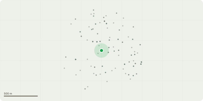
Approximate location
Proposal
FRONT: Ground works and associated fibrous root pruning to install a root barrier 11m in length and 3.5m in depth within the frontage of 12 Westwood Hill, and minimum 6m from front oak trees in grounds of St Bartholomews Church. Reason: the oak trees have been positively implicated in subsidence damage to front steps/porch at 12 Westwood Hill, the proposal seeks to retain the church oak trees by installing a root barrier which will require removal of small fibrous roots to facilitate installation. Note: Submitted reports may detail tree removal but this is not proposed.Informative A: huge thank you for using a geotextile root barrier to manage the structural issues at no.12 Westwood Hill to retain the church's frontage oaks which contribute significantly to public realm streetscape amenity and the church landscape setting. Informative B: compensation for root loss, such as bark mulch over rooting area would be appreciated if possible.
Key dates
- Received 22 Nov 2024
- Validated 22 Nov 2024
- Started 22 Nov 2024
- Decided 7 Jan 2025
Planning history / related applications
No related planning applications have been identified in the current public OGL dataset.
Inside plotEdge
Go beyond the public record
This page is the public OGL record. plotEdge adds the private intelligence layer for this site - open it in the app to unlock:
- Ownership & title Registered owner and title from HM Land Registry.
- Viability & build potential Site scoring and development upside.
- Constraints Flood risk, green belt, conservation areas and designations.
- Approval signal Planning risk and approval-likelihood analysis.
- Comparable applications Decisions on similar nearby sites, side by side.
- Status alerts Get notified the moment this application changes.
Source: public planning application data from Lewisham, reused under the Open Government Licence v3.0. View the council source record. Council documents and drawings are not republished on plotEdge.