Lewisham
Lewisham/DC/24/138122
HABERDASHERS ASKES HATCHAM GIRLS SCHOOL, JERNINGHAM ROAD, LONDON, SE14 5NY
- Reference
- Lewisham/DC/24/138122
- Authority
- Lewisham
- Address
- HABERDASHERS ASKES HATCHAM GIRLS SCHOOL, JERNINGHAM ROAD, LONDON, SE14 5NY
- Postcode
- SE14 5NY
- Status
- Unknown
- Decision
- Granted
- Received
- 12 Nov 2024
- Validated
- 14 Feb 2025
- Started
- 14 Feb 2025
- Decided
- 24 Feb 2025
- Source council
- Lewisham
- Council source record
- View public record
- Public data licence
- Open Government Licence v3.0
- Record updated
- 18 Jul 2026
- SEO index generated
- 24 Jul 2026
Location
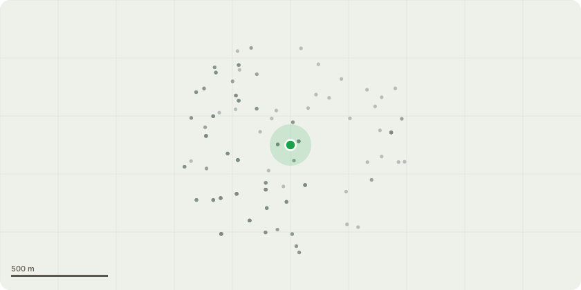
Approximate location
Proposal
FRONT: ONE London Plane (TPO T8)(ht.16m) POLLARD HEIGHT by 7m from 16m to ht.9m, LATERAL REDUCE to 2m all round, by 2m from 4m to 2m on N compass, by 3.5m from 5.5m to 2m on S compass, by 4.5m from 6.5m to 2m on E compass, by 2.5m from 4.5m to 2m on W compass. Reason: the tree is located within the school's roadside boundary wall, previously crown reduced, stem is partially hollow with decay and therefore hazardous, with lopsided crown hanging over the boundary wall, road and bus stop, high footfall with pupils and other pedestrians, works to ensure the tree is safe. The London Borough of Lewisham (Haberdashers Askes Hatcham School) Tree Preservation Order 1980.Informative A: the sensitive management of the tree to retain for streetscape amenity and the treed setting of the school is greatly appreciated.Informative B: reminder of replacement trees from previous tree works to be planted near the original trees, ref agent's email 5.9.24 confirmed the school to plant replacement trees: DC/24/137083 - dead Horse Chestnut (TPO T12) near school gates ? replacement species selected from: Tulip Tree, Italian Alder, small leaved lime, sessile oak, Robinia, Norway Maple, beech, field maple, wild service tree, wingnut, Hop hornbeam, Japanese Pagoda Tree, Hackberry (Celtis australis), Liquidambar, Indian Horse Chestnut near the original tree; and DC/22/129150 - Catalpha (TPO T16) rear boundary opposite the school gates ? to be replaced with a Catalpha.
Key dates
- Received 12 Nov 2024
- Validated 14 Feb 2025
- Started 14 Feb 2025
- Decided 24 Feb 2025
Planning history / related applications
No related planning applications have been identified in the current public OGL dataset.
Inside plotEdge
Go beyond the public record
This page is the public OGL record. plotEdge adds the private intelligence layer for this site - open it in the app to unlock:
- Ownership & title Registered owner and title from HM Land Registry.
- Viability & build potential Site scoring and development upside.
- Constraints Flood risk, green belt, conservation areas and designations.
- Approval signal Planning risk and approval-likelihood analysis.
- Comparable applications Decisions on similar nearby sites, side by side.
- Status alerts Get notified the moment this application changes.
Source: public planning application data from Lewisham, reused under the Open Government Licence v3.0. View the council source record. Council documents and drawings are not republished on plotEdge.