Lewisham
Lewisham/DC/24/137715
ST MILDREDS CHURCH, ST MILDREDS ROAD, LONDON, SE12 0RA
- Reference
- Lewisham/DC/24/137715
- Authority
- Lewisham
- Address
- ST MILDREDS CHURCH, ST MILDREDS ROAD, LONDON, SE12 0RA
- Postcode
- SE12 0RA
- Status
- Decided
- Decision
- Granted
- Received
- 10 Oct 2024
- Validated
- 11 Oct 2024
- Started
- 11 Oct 2024
- Decided
- 16 Dec 2024
- Source council
- Lewisham
- Council source record
- View public record
- Public data licence
- Open Government Licence v3.0
- Record updated
- 18 Jul 2026
- SEO index generated
- 24 Jul 2026
Location
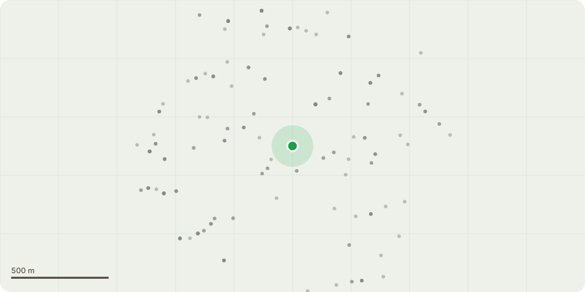
Approximate location
Proposal
Application submitted under Section 73 of the Town & Country Planning Act 1990 (as amended) for minor-material amendments for the variation of Condition (2) of planning permission (DC/19/112087; Appeal Ref APP/C5690/W/20/3252615 dated 13/08/21 and amended under DC/22/129098 dated 10/03/23); in order to allow external changes to the site including, the changing of the design/material of the entrance porch; elevation and design changes to the new church hall; replacing the join curve glazing on the new hall with standard velux rooflights for lighting with associated design changes; modification to the size of glazing and external cladding on the north elevation office room; removal of decorative bricks from north elevation (rear section) to be replaced with standard brickwork; changes to church doors; changes to hardscaping and design of pedestrian entrance at northeastern corner of site; Installation of EV chargers in carpark; remedial works to chapel walls; and all associated works at St Mildred's Church, St Mildreds Road, SE12.
Key dates
- Received 10 Oct 2024
- Validated 11 Oct 2024
- Started 11 Oct 2024
- Decided 16 Dec 2024
Planning history / related applications
No related planning applications have been identified in the current public OGL dataset.
Inside plotEdge
Go beyond the public record
This page is the public OGL record. plotEdge adds the private intelligence layer for this site - open it in the app to unlock:
- Ownership & title Registered owner and title from HM Land Registry.
- Viability & build potential Site scoring and development upside.
- Constraints Flood risk, green belt, conservation areas and designations.
- Approval signal Planning risk and approval-likelihood analysis.
- Comparable applications Decisions on similar nearby sites, side by side.
- Status alerts Get notified the moment this application changes.
Source: public planning application data from Lewisham, reused under the Open Government Licence v3.0. View the council source record. Council documents and drawings are not republished on plotEdge.