Lewisham
Lewisham/DC/24/137693
56 VICARS HILL, LONDON, SE13 7JL
- Reference
- Lewisham/DC/24/137693
- Authority
- Lewisham
- Address
- 56 VICARS HILL, LONDON, SE13 7JL
- Postcode
- SE13 7JL
- Status
- Unknown
- Decision
- Granted
- Received
- 9 Oct 2024
- Validated
- 9 Oct 2024
- Started
- 9 Oct 2024
- Decided
- 21 Mar 2025
- Source council
- Lewisham
- Council source record
- View public record
- Public data licence
- Open Government Licence v3.0
- Record updated
- 18 Jul 2026
- SEO index generated
- 24 Jul 2026
Location
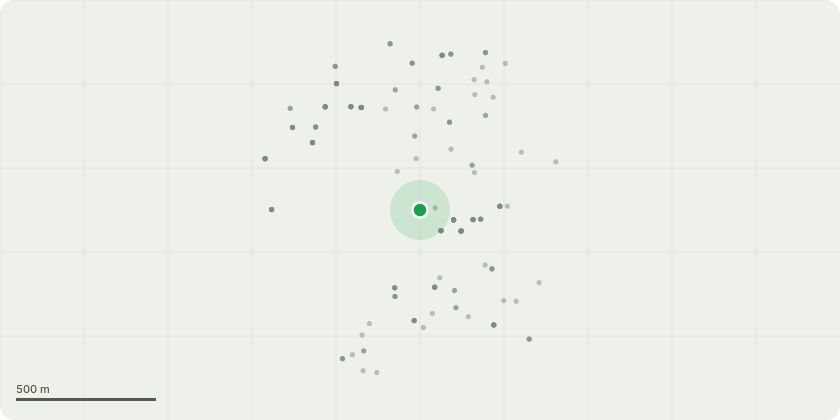
Approximate location
Proposal
REAR (no.56): ONE Oak (T5, TPO T1)(ht.16m) FELL. Reason: to stop the influence of the tree on the soil below the building foundation level at 54 Vicars Hill and provide long term stability.The London Borough of Lewisham (56 Vicars Hill London SE13 7JL) Tree Preservation Order 2024, confirmed TPO 20/08/2024.Informative A: felling rear oak (TPO T1) has been granted ref TPO application (DC/24/138231) for structural issues at adjacent no.56 Vicars Hill where submitted reports indicate the rear oak (TPO T1) is likely to be a factor, but unlikely to be the controlling factor, in structural issues at no.56 as the matter is compounded by the steeply sloping site, foundations not to current NHBC guidelines, nearby works, frequent ground water run-off from the adjacent Hilly Fields has recently ceased.Informative B: reports are inconclusive that the rear oak (TPO T1) is a controlling factor in structural issues at no.54 as rear foundations (TP/BH2) are very shallow at depth 0.4m below current NHBC guidance, the soil is not desiccated, single root sample (0.007mm) is unreliable, and crack damage is category 2 'slight'. Informative C: a heave risk assessment should be carried out before any tree works are undertaken.Informative D: a replacement tree is a condition of the decision notice (see condition 2 below) with species to be selected from birch, holly, Gleditsia, hornbeam - from NHBC 4.2.4 low water demand tree list. Informative E: please create habitat log piles with arisings for wildlife and biodiversity.
Key dates
- Received 9 Oct 2024
- Validated 9 Oct 2024
- Started 9 Oct 2024
- Decided 21 Mar 2025
Planning history / related applications
No related planning applications have been identified in the current public OGL dataset.
Inside plotEdge
Go beyond the public record
This page is the public OGL record. plotEdge adds the private intelligence layer for this site - open it in the app to unlock:
- Ownership & title Registered owner and title from HM Land Registry.
- Viability & build potential Site scoring and development upside.
- Constraints Flood risk, green belt, conservation areas and designations.
- Approval signal Planning risk and approval-likelihood analysis.
- Comparable applications Decisions on similar nearby sites, side by side.
- Status alerts Get notified the moment this application changes.
Source: public planning application data from Lewisham, reused under the Open Government Licence v3.0. View the council source record. Council documents and drawings are not republished on plotEdge.