Lewisham
Lewisham/DC/24/137528
74 MANOR AVENUE, LONDON, SE4 1TE
- Reference
- Lewisham/DC/24/137528
- Authority
- Lewisham
- Address
- 74 MANOR AVENUE, LONDON, SE4 1TE
- Postcode
- SE4 1TE
- Status
- Unknown
- Decision
- Raise No Objection
- Received
- 25 Sept 2024
- Validated
- 30 Sept 2024
- Started
- 30 Sept 2024
- Decided
- 24 Oct 2024
- Source council
- Lewisham
- Council source record
- View public record
- Public data licence
- Open Government Licence v3.0
- Record updated
- 18 Jul 2026
- SEO index generated
- 24 Jul 2026
Location
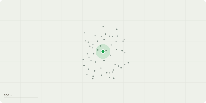
Approximate location
Proposal
FRONT: ONE Purple plum (T1)(ht.7m) CROWN REDUCE HEIGHT by 1m from 7m to 6m, REDUCE LATERAL SPREAD by 2m from 6m to 4m. CROWN LIFT to 3m above ground level. Reason: to shape canopy, pruning to suitable points and maintaining natural aesthetic, overhangs the pavement so work to lift canopy to 3m above ground level and prevent future issues. REAR: ONE dead Elder (T2)(ht.6m) FELL. Reason: the tree has died, removal for health and safety reasons. Some timber will be left as lying deadwood. Tree replanting proposed: Betula utilis jacquemontii 'Snow Queen' under duty to replace.Informative A: Duty to replace - the proposed replacement tree is greatly appreciated for amenity, urban greening, wildlife and environmental benefits.Informative B: the landowner has a duty to plant a replacement tree when a tree in a conservation area is removed because it is dead, or presents an immediate risk of serious harm, para 121 Tree Preservation Orders and trees in conservation areas, government guidance 6 March 2014.Informative C: the proposal to leave some timber as lying deadwood for wildlife habitat and biodiversity is hugely welcome, safe standing deadwood is also valuable for wildlife.
Key dates
- Received 25 Sept 2024
- Validated 30 Sept 2024
- Started 30 Sept 2024
- Decided 24 Oct 2024
Planning history / related applications
No related planning applications have been identified in the current public OGL dataset.
Inside plotEdge
Go beyond the public record
This page is the public OGL record. plotEdge adds the private intelligence layer for this site - open it in the app to unlock:
- Ownership & title Registered owner and title from HM Land Registry.
- Viability & build potential Site scoring and development upside.
- Constraints Flood risk, green belt, conservation areas and designations.
- Approval signal Planning risk and approval-likelihood analysis.
- Comparable applications Decisions on similar nearby sites, side by side.
- Status alerts Get notified the moment this application changes.
Source: public planning application data from Lewisham, reused under the Open Government Licence v3.0. View the council source record. Council documents and drawings are not republished on plotEdge.