Lewisham
Lewisham/DC/24/137466
25 AND A HALF, WICKHAM ROAD, LONDON, SE4 1PL
- Reference
- Lewisham/DC/24/137466
- Authority
- Lewisham
- Address
- 25 AND A HALF, WICKHAM ROAD, LONDON, SE4 1PL
- Postcode
- SE4 1PL
- Status
- Unknown
- Decision
- Granted
- Received
- 23 Sept 2024
- Started
- 23 Sept 2024
- Decided
- 27 Sept 2024
- Source council
- Lewisham
- Council source record
- View public record
- Public data licence
- Open Government Licence v3.0
- Record updated
- 18 Jul 2026
- SEO index generated
- 24 Jul 2026
Location
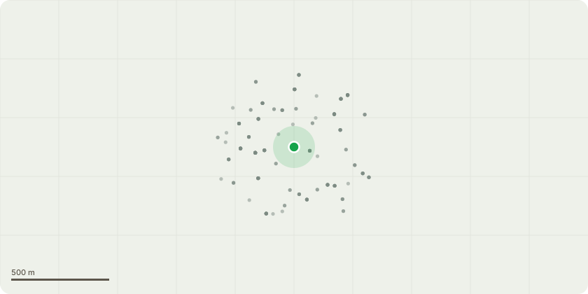
Approximate location
Proposal
REAR: ONE Eucalyptus (T1)(ht.12m) FELL. Reason: tree has significant lean with root plate moving (video submitted), safety issue, needs to be felled asap, while agent on site 23.9.24 to crown reduce 6-week notice DC/24/136603 the compromised tree was apparent, Duty to replace applies ? a replacement tree is proposed with a suitable large canopy species. Informative A: duty to replace applies, for tree canopy cover benefits, select species from: field maple, wild service tree (Sorbus torminalis), whitebeam, small leaved lime, oak, Robinia, beech, hop hornbeam, Indian horse chestnut, Tulip tree, Pride of India/Golden Rain tree (Koelreuteria paniculata), Japanese pagoda tree (Styphnolobium japonicum), Italian alder, Hackberry (Celtis australis), Kentucky Coffee Tree (Gymnocladus dioica), Liquidambar. Informative B: the landowner has a duty to plant a replacement tree when a tree in a conservation area is removed because it is dead, or presents an immediate risk of serious harm, para 121 Tree Preservation Orders and trees in conservation areas, government guidance 6 March 2014.
Key dates
- Received 23 Sept 2024
- Started 23 Sept 2024
- Decided 27 Sept 2024
Planning history / related applications
No related planning applications have been identified in the current public OGL dataset.
Inside plotEdge
Go beyond the public record
This page is the public OGL record. plotEdge adds the private intelligence layer for this site - open it in the app to unlock:
- Ownership & title Registered owner and title from HM Land Registry.
- Viability & build potential Site scoring and development upside.
- Constraints Flood risk, green belt, conservation areas and designations.
- Approval signal Planning risk and approval-likelihood analysis.
- Comparable applications Decisions on similar nearby sites, side by side.
- Status alerts Get notified the moment this application changes.
Source: public planning application data from Lewisham, reused under the Open Government Licence v3.0. View the council source record. Council documents and drawings are not republished on plotEdge.