Lewisham
Lewisham/DC/24/137307
92A DRAKEFELL ROAD, LONDON, SE14 5SJ
- Reference
- Lewisham/DC/24/137307
- Authority
- Lewisham
- Address
- 92A DRAKEFELL ROAD, LONDON, SE14 5SJ
- Postcode
- SE14 5SJ
- Status
- Unknown
- Decision
- Raise No Objection
- Received
- 5 Sept 2024
- Validated
- 5 Sept 2024
- Started
- 5 Sept 2024
- Decided
- 3 Oct 2024
- Source council
- Lewisham
- Council source record
- View public record
- Public data licence
- Open Government Licence v3.0
- Record updated
- 18 Jul 2026
- SEO index generated
- 24 Jul 2026
Location
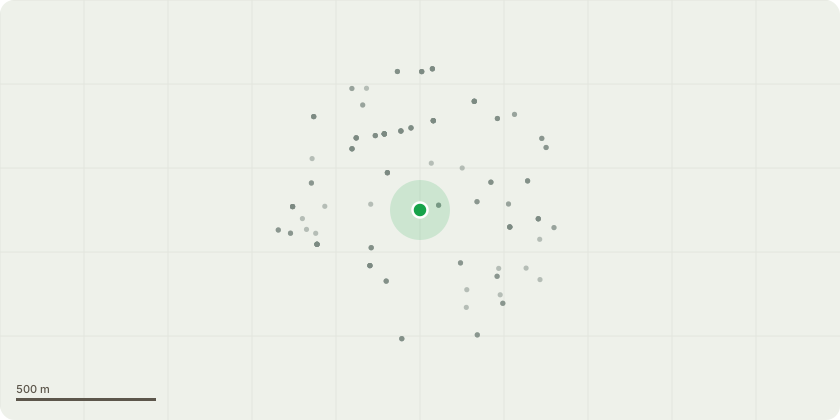
Approximate location
Proposal
REAR (Network Rail land): FOUR Sycamore (T1-T4)(ht.6m) FELL. Reason: Network Rail trees, against rear fence, repeat ground level coppice of regrowth from previously felled stumps, to clear from rear fence, crown reduction will not achieve the required outcome, the trees are causing structural issues with workshop especially the wall at the corner by the window. Informative A: retain stems which are set back from Network Railway boundary fence for treed amenity and landscape character at the end of Aspinall Road cul-de-sac and the urban greening garden opposite. Informative B: permission needs to be obtained from Network Rail before carrying out the proposed works ? please see informative 4 below.Informative C: subject to agreement with Network Rail the creation of habitat log piles with arisings on site is encouraged for wildlife and biodiversity.
Key dates
- Received 5 Sept 2024
- Validated 5 Sept 2024
- Started 5 Sept 2024
- Decided 3 Oct 2024
Planning history / related applications
No related planning applications have been identified in the current public OGL dataset.
Inside plotEdge
Go beyond the public record
This page is the public OGL record. plotEdge adds the private intelligence layer for this site - open it in the app to unlock:
- Ownership & title Registered owner and title from HM Land Registry.
- Viability & build potential Site scoring and development upside.
- Constraints Flood risk, green belt, conservation areas and designations.
- Approval signal Planning risk and approval-likelihood analysis.
- Comparable applications Decisions on similar nearby sites, side by side.
- Status alerts Get notified the moment this application changes.
Source: public planning application data from Lewisham, reused under the Open Government Licence v3.0. View the council source record. Council documents and drawings are not republished on plotEdge.