Leeds
Leeds/26/9/00112/MOD
Midland Mills Silver Street Holbeck Leeds LS11 9YW
- Reference
- Leeds/26/9/00112/MOD
- Authority
- Leeds
- Application type
- MOD
- Address
- Midland Mills Silver Street Holbeck Leeds LS11 9YW
- Postcode
- LS11 9YW
- Status
- Current
- Received
- 7 Jul 2026
- Validated
- 7 Jul 2026
- Started
- 7 Jul 2026
- Source council
- Leeds
- Council source record
- View public record
- Public data licence
- Open Government Licence v3.0
- Record updated
- 18 Jul 2026
- SEO index generated
- 29 Jul 2026
Location
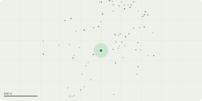
Approximate location
Proposal
Refurbishment of Midland Mills and the construction of a 32 storey tower comprising a total of 306No. apartments; flexible commercial space (class uses A1/A2/A3/A4/B1) creation of a public realm at Midland Mills NON MATERIAL AMENDMENT to 18/04579/FU Updating the Mill 1st floor to combine 1no. 2 bed unit and 1no. 3 bed unit to form 1no. 4 bed unit.Updating the Mill 2nd floor to combine 2no. 3 bed units to form 1no. 4 bed unit.Updating the Tower 34th floor to separe the previously formed 1no. 4 bed to form 1no. additional 3 bed unit and 1no. additional 4 bed unit.Updating the Tower 21st floor to seperate the previously combined 2 bed and 3 bed units.Updating the Tower ground floor omit 1no. core door and rearrange the locations of the parcel room, entrance and amenity space division. The most recent approved version of the ground floor was approved under 22/9/00176/MOD and is drawing 2022-021-B1-XX-DR-A-20440 G.A Plan - Tower Typical Floors 00 - 29. It should be noted there is an updated version included within the current s73 application (25/03926/FU) under drawing 2022-021-B1-XX-DR-A-20440 Rev P02.
Key dates
- Received 7 Jul 2026
- Validated 7 Jul 2026
- Started 7 Jul 2026
Planning history / related applications
No related planning applications have been identified in the current public OGL dataset.
Inside plotEdge
Go beyond the public record
This page is the public OGL record. plotEdge adds the private intelligence layer for this site - open it in the app to unlock:
- Ownership & title Registered owner and title from HM Land Registry.
- Viability & build potential Site scoring and development upside.
- Constraints Flood risk, green belt, conservation areas and designations.
- Approval signal Planning risk and approval-likelihood analysis.
- Comparable applications Decisions on similar nearby sites, side by side.
- Status alerts Get notified the moment this application changes.
Source: public planning application data from Leeds, reused under the Open Government Licence v3.0. View the council source record. Council documents and drawings are not republished on plotEdge.