Leeds
Leeds/26/9/00025/MOD
West Yorkshire Police Authority Pudsey Police Station Dawsons Corner Stanningley Pudsey LS28 5TA
- Reference
- Leeds/26/9/00025/MOD
- Authority
- Leeds
- Application type
- MOD
- Address
- West Yorkshire Police Authority Pudsey Police Station Dawsons Corner Stanningley Pudsey LS28 5TA
- Postcode
- LS28 5TA
- Status
- Decided
- Decision
- Non Material Amendment Approved
- Received
- 12 Feb 2026
- Validated
- 12 Feb 2026
- Started
- 12 Feb 2026
- Decided
- 6 May 2026
- Source council
- Leeds
- Council source record
- View public record
- Public data licence
- Open Government Licence v3.0
- Record updated
- 18 Jul 2026
- SEO index generated
- 24 Jul 2026
Location
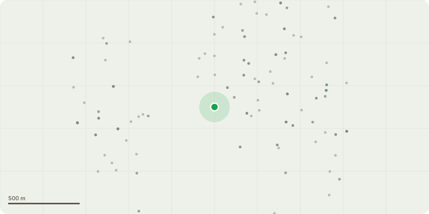
Approximate location
Proposal
Replacement of liquid bitumen and single ply membrane roof coverings to two existing flat roof structures with new, tapered insulation and built-up bitumen felt capping sheets; raising of parapet wall by 300mm and top new raised parapet wall in new PPC aluminium capping; replacement of existing roof mounted AHU's with two new roof mounted AHU's and new supply and extract ducting to suit mechanical plant designs; temporary scaffold hoarding to weatherproof both roofs during the works - NON MATERIAL AMENDMENT TO 25/01486/FU - Removal of all existing original aluminium single glazed windows and oriel windows (including security grade windows) and replace with new aluminium, thermally broken frames with double glazed units to achieve a U value minimum of 1.6W/m2.K for the whole unit. See application form for further detail.
Key dates
- Received 12 Feb 2026
- Validated 12 Feb 2026
- Started 12 Feb 2026
- Decided 6 May 2026
Planning history / related applications
No related planning applications have been identified in the current public OGL dataset.
Inside plotEdge
Go beyond the public record
This page is the public OGL record. plotEdge adds the private intelligence layer for this site - open it in the app to unlock:
- Ownership & title Registered owner and title from HM Land Registry.
- Viability & build potential Site scoring and development upside.
- Constraints Flood risk, green belt, conservation areas and designations.
- Approval signal Planning risk and approval-likelihood analysis.
- Comparable applications Decisions on similar nearby sites, side by side.
- Status alerts Get notified the moment this application changes.
Source: public planning application data from Leeds, reused under the Open Government Licence v3.0. View the council source record. Council documents and drawings are not republished on plotEdge.