Leeds
Leeds/26/03824/TR
Woodbourne Villa North Hill Road Headingley Leeds LS6 2EN
- Reference
- Leeds/26/03824/TR
- Authority
- Leeds
- Application type
- TR
- Address
- Woodbourne Villa North Hill Road Headingley Leeds LS6 2EN
- Postcode
- LS6 2EN
- Status
- Decided
- Decision
- No Objection
- Received
- 7 Jul 2026
- Validated
- 7 Jul 2026
- Started
- 7 Jul 2026
- Decided
- 14 Jul 2026
- Source council
- Leeds
- Council source record
- View public record
- Public data licence
- Open Government Licence v3.0
- Record updated
- 30 Jul 2026
- SEO index generated
- 31 Jul 2026
Location
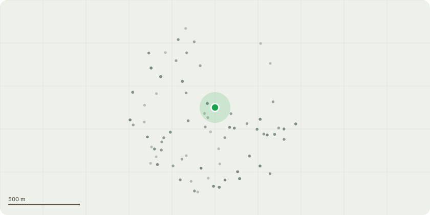
Approximate location
Proposal
Mature Beech Tree (Fagus sylvatica) reduce the overall canopy by approximately 40% pruning back to suitable growth points.Tree DescriptionMature Beech tree approximately 18m in height with an 18m canopy spread, located on the boundary of a car park and a busy student pedestrian access route.Observations* Recent significant limb failure resulting in substantial tear-out and damage.* Main stem forks at approximately 3m above ground level.* Southern stem contains multiple tight secondary forks and compressed unions exhibiting included bark. See photo 4,5,6 & 7 * Large lateral limb extends over the adjacent car park and pedestrian route.* The recent limb failure has significantly altered canopy balance and increased exposure to wind loading.* Remaining scaffold limbs are subject to increased mechanical stress due to the loss of canopy mass on one side of the crown.* Ongoing risk of further branch failure from weakly attached unions and redistributed loading within the canopy.RecommendationReduce the overall canopy by approximately 40%, pruning back to suitable growth points where practicable. See photo 1 & 3 Justification * Significantly reduce end weight and wind loading on compromised scaffold limbs.* Mitigate the risk of further failure associated with included bark unions and compressed forks.* Rebalance the crown following the recent major limb loss.* Reduce the likelihood of branch failure over the adjacent car park and heavily used pedestrian route.* Retain the tree where possible while managing foreseeable risk to site users and property.
Key dates
- Received 7 Jul 2026
- Validated 7 Jul 2026
- Started 7 Jul 2026
- Decided 14 Jul 2026
Planning history / related applications
No related planning applications have been identified in the current public OGL dataset.
Inside plotEdge
Go beyond the public record
This page is the public OGL record. plotEdge adds the private intelligence layer for this site - open it in the app to unlock:
- Ownership & title Registered owner and title from HM Land Registry.
- Viability & build potential Site scoring and development upside.
- Constraints Flood risk, green belt, conservation areas and designations.
- Approval signal Planning risk and approval-likelihood analysis.
- Comparable applications Decisions on similar nearby sites, side by side.
- Status alerts Get notified the moment this application changes.
Source: public planning application data from Leeds, reused under the Open Government Licence v3.0. View the council source record. Council documents and drawings are not republished on plotEdge.