Leeds
Leeds/26/03754/TR
143 Tinshill Road Cookridge Leeds LS16 7JX
- Reference
- Leeds/26/03754/TR
- Authority
- Leeds
- Application type
- TR
- Address
- 143 Tinshill Road Cookridge Leeds LS16 7JX
- Postcode
- LS16 7JX
- Status
- Current
- Received
- 6 Jul 2026
- Validated
- 6 Jul 2026
- Started
- 6 Jul 2026
- Source council
- Leeds
- Council source record
- View public record
- Public data licence
- Open Government Licence v3.0
- Record updated
- 18 Jul 2026
- SEO index generated
- 29 Jul 2026
Location
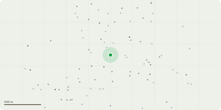
Approximate location
Proposal
There are 3 trees total. 2 birch trees and 1 big beach tree (they are all in a line next to each other). ///boost.money.steps W3W- The first birch tree completely snapped out last spring during a storm and landed on the drive way. The snap out wound and stem still remains and he would like to get it removed and he potentially would like to plant something there. The stem that remain is about 8ft tall and has polypore fungus present. ///fade.pack.eagle W3w- The second birch is completely dead, it?s been declining over the past few years with leaves prematurely turning yellow. This year is the first year where no leaves have grown. About 15ft were the first union lied is a dangerous cavity with water pooling inside. Neither of the stems look safe and have the potential to fall on the drive or his garage during another wind storm. He would like to get this removed also.///could.trial.bucks w3w- The third tree is a big beach and he would like to get this reduced by as much as possible. He would like the height to come down again and the sides to be brought it to keep it maintained. The tree seemed to be very healthy and has lots of growth present. Side branches hang on his garden as well as branches that hang into the main shared driveway way So the removal of the 2 birch tree and reduction of beach tree as much as is allowed.
Key dates
- Received 6 Jul 2026
- Validated 6 Jul 2026
- Started 6 Jul 2026
Planning history / related applications
No related planning applications have been identified in the current public OGL dataset.
Inside plotEdge
Go beyond the public record
This page is the public OGL record. plotEdge adds the private intelligence layer for this site - open it in the app to unlock:
- Ownership & title Registered owner and title from HM Land Registry.
- Viability & build potential Site scoring and development upside.
- Constraints Flood risk, green belt, conservation areas and designations.
- Approval signal Planning risk and approval-likelihood analysis.
- Comparable applications Decisions on similar nearby sites, side by side.
- Status alerts Get notified the moment this application changes.
Source: public planning application data from Leeds, reused under the Open Government Licence v3.0. View the council source record. Council documents and drawings are not republished on plotEdge.