Leeds
Leeds/26/03135/TR
Nicholson Court Fitzroy Drive Gledhow Leeds LS8 4AP
- Reference
- Leeds/26/03135/TR
- Authority
- Leeds
- Application type
- TR
- Address
- Nicholson Court Fitzroy Drive Gledhow Leeds LS8 4AP
- Postcode
- LS8 4AP
- Status
- Current
- Received
- 2 Jun 2026
- Validated
- 2 Jun 2026
- Started
- 2 Jun 2026
- Source council
- Leeds
- Council source record
- View public record
- Public data licence
- Open Government Licence v3.0
- Record updated
- 18 Jul 2026
- SEO index generated
- 24 Jul 2026
Location
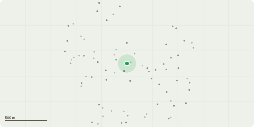
Approximate location
Proposal
Works lisited in the attache report. T341 Silver Birch: Sever the ivy and remove a 1m section around the lower stem to facilitate future inspection.T343 Silver Birch: Remove the dead stem to ground level.T344 Common Lime: Remove moderate deadwood and pruning stubs.T351 Norway Maple: Remove moderate deadwood.G2 Common Ash, Sycamore, Acer: Remove the slender item leaning towards the apartment block. Remaining items: Option 1 sever ivy and re-inspect in late summer. Option 2 remove to ground level.Ash - located in G2 area - Muti stemmed from basal with large leaning limb towards property, the tree is massively submerged in ivy with significant signs of ash die back - requesting to remove full tree (3 stems) the tree is located in a cluster of ash trees, plan to monitor all other ash trees and just remove the multi stemed ash as risk of failure
Key dates
- Received 2 Jun 2026
- Validated 2 Jun 2026
- Started 2 Jun 2026
Planning history / related applications
No related planning applications have been identified in the current public OGL dataset.
Inside plotEdge
Go beyond the public record
This page is the public OGL record. plotEdge adds the private intelligence layer for this site - open it in the app to unlock:
- Ownership & title Registered owner and title from HM Land Registry.
- Viability & build potential Site scoring and development upside.
- Constraints Flood risk, green belt, conservation areas and designations.
- Approval signal Planning risk and approval-likelihood analysis.
- Comparable applications Decisions on similar nearby sites, side by side.
- Status alerts Get notified the moment this application changes.
Source: public planning application data from Leeds, reused under the Open Government Licence v3.0. View the council source record. Council documents and drawings are not republished on plotEdge.