Leeds
Leeds/26/03057/TR
Woodhouse Hall Woodhouse Lane East Ardsley Wakefield WF3 2JS
- Reference
- Leeds/26/03057/TR
- Authority
- Leeds
- Application type
- TR
- Address
- Woodhouse Hall Woodhouse Lane East Ardsley Wakefield WF3 2JS
- Postcode
- WF3 2JS
- Status
- Current
- Received
- 29 May 2026
- Validated
- 29 May 2026
- Started
- 29 May 2026
- Source council
- Leeds
- Council source record
- View public record
- Public data licence
- Open Government Licence v3.0
- Record updated
- 18 Jul 2026
- SEO index generated
- 24 Jul 2026
Location
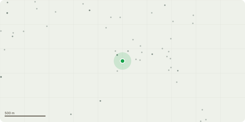
Approximate location
Proposal
001 Cornelia Cherry - Branches rubbing on BT line ivy clad stem. Honey suckle in canopy Clear BT lines by 2m. 002 wild Cherry - Ivy covered stem. Multi stemmed from 1m. Thick hey on main stem. Honeysuckle in canopy. Canopy is over hanging neighbouring can park and touching be lines. Reduce by 2m. 003 Leyland cypress - Multi stemmed from ground level. Canopy is interfering with BT lines. Remove tree. 004 Leyland Cypress - Canopy is touching BT lines. Remove tree. 005 common Ash - Seven years re growth on old pollard. Large historical wound on main stem at 5m east facing. Re pollard 008 Sycamore - Tree is an old pollard. Large regrowth. Tight union on main stem at 6m. Sever and remove ivy to main union. Reinspect 013 Sycamore - Multi stemmed from 3m. Lower canopy is heavily weighted over house, Reduce lateral spread by 2m 014 common Beech - Biased canopy. Reduce over extended limbs by 2m to building. Over extended limbs west facing at 10m. match existing canopy 015 common Beech - Tree is heavily leaning with a biased canopy over building. Multi stemmed from 0.5m. Reduce by 2 to 3m. 016 Willow - Twin stemmed from ground level. Included union. Canopy is touching building. Remove tree 017 Sycamore - Multi stemmed from 2m East facing stem at 4m has poor Union. Canopy over neighbouring property has been heavily reduced in the past. Hanging hmb over neighbouring property at 6m. Reduce by 2m. Remove hanging limb
Key dates
- Received 29 May 2026
- Validated 29 May 2026
- Started 29 May 2026
Planning history / related applications
No related planning applications have been identified in the current public OGL dataset.
Inside plotEdge
Go beyond the public record
This page is the public OGL record. plotEdge adds the private intelligence layer for this site - open it in the app to unlock:
- Ownership & title Registered owner and title from HM Land Registry.
- Viability & build potential Site scoring and development upside.
- Constraints Flood risk, green belt, conservation areas and designations.
- Approval signal Planning risk and approval-likelihood analysis.
- Comparable applications Decisions on similar nearby sites, side by side.
- Status alerts Get notified the moment this application changes.
Source: public planning application data from Leeds, reused under the Open Government Licence v3.0. View the council source record. Council documents and drawings are not republished on plotEdge.