Leeds
Leeds/26/02307/TR
4 Tall Trees Close Adel Leeds LS16 7SX
- Reference
- Leeds/26/02307/TR
- Authority
- Leeds
- Application type
- TR
- Address
- 4 Tall Trees Close Adel Leeds LS16 7SX
- Postcode
- LS16 7SX
- Status
- Decided
- Decision
- Split decision
- Received
- 23 Apr 2026
- Validated
- 23 Apr 2026
- Started
- 23 Apr 2026
- Decided
- 16 Jun 2026
- Source council
- Leeds
- Council source record
- View public record
- Public data licence
- Open Government Licence v3.0
- Record updated
- 18 Jul 2026
- SEO index generated
- 24 Jul 2026
Location
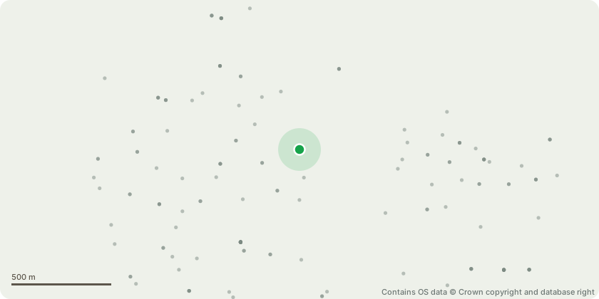
Approximate location - Contains OS data © Crown copyright and database right
Proposal
T1 Sycamore: To be removed.Engineers structural report has been attached along with a letter from the applicant about this issue.T2 Lime: To be removed. Tree roots are also causing structural damage to boundary wall and is a multi stemmed that has a large included union at the base that is causing consern for safety as the garden is used by children and the tree is in striking distance of most of the garden and property. If the tree was to fail it has a heavy lean towards the house and the structural report also covers the damage this tree is causing to the wall which LCC has already accepted is a problem.T3, Sycamore: To be removed or laterally pruned over child's play area. Tree is large and grows over play area allowing birds to defecate over play equipment causing concerns as a health hazard due to bird fesease been harmful to health. Tree has outgrown location and poor past pruning has caused tree to be in poor condition with large co dominant stem over play area.It is the the wish to remove but at least laterally prune/ crown lift up to 7m to remove lower over extended limbs that lean over play area and all.other branches up to the same height to retain trees balance.Structural report has been provided along with photos and letter from applicant.
Key dates
- Received 23 Apr 2026
- Validated 23 Apr 2026
- Started 23 Apr 2026
- Decided 16 Jun 2026
Planning history / related applications
No related planning applications have been identified in the current public OGL dataset.
Inside plotEdge
Go beyond the public record
This page is the public OGL record. plotEdge adds the private intelligence layer for this site - open it in the app to unlock:
- Ownership & title Registered owner and title from HM Land Registry.
- Viability & build potential Site scoring and development upside.
- Constraints Flood risk, green belt, conservation areas and designations.
- Approval signal Planning risk and approval-likelihood analysis.
- Comparable applications Decisions on similar nearby sites, side by side.
- Status alerts Get notified the moment this application changes.
Source: public planning application data from Leeds, reused under the Open Government Licence v3.0. View the council source record. Council documents and drawings are not republished on plotEdge.