Leeds
Leeds/26/02178/TR
38 Hawksworth Lane Guiseley Leeds LS20 8HE
- Reference
- Leeds/26/02178/TR
- Authority
- Leeds
- Application type
- TR
- Address
- 38 Hawksworth Lane Guiseley Leeds LS20 8HE
- Postcode
- LS20 8HE
- Status
- Decided
- Decision
- No Objection
- Received
- 16 Apr 2026
- Validated
- 16 Apr 2026
- Started
- 16 Apr 2026
- Decided
- 1 May 2026
- Source council
- Leeds
- Council source record
- View public record
- Public data licence
- Open Government Licence v3.0
- Record updated
- 18 Jul 2026
- SEO index generated
- 24 Jul 2026
Location
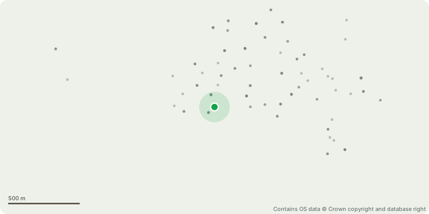
Approximate location - Contains OS data © Crown copyright and database right
Proposal
T1- Silver Birch - Reduce overall height by approximately 15ft (from 45ft to 30ft) and prune lateral to achieve a balanced and natural crown form - To reduce height, minimising the risk of branch failure. The works will improve light penetration to the surrounding area and ensure the tree remains in scale with its setting, while retaining its amenity value and natural form.T2 - Apple Tree - Reduce overall height by approximately 1.5 metres (from 4.5m to 3m) - Prune lateral branches to improve crown structure and shape - To maintain the tree in a healthy and manageable condition, reduce limb weight, and encourage productive fruiting. Works will improve structural integrity and extend the tree?s lifespan while preserving its contribution to the conservation area.G1 - Hedgerow - Reduce height to match adjacent hedgerow on the right-hand side boundary - To maintain a consistent boundary height and improve the visual amenity of the site in keeping with the character of the conservation area.G2 - Hedgerow - Trim and tidy to maintain shape and density - Routine maintenance to promote healthy growth and ensure a neat, well-maintained appearance.G3 - Hedgerow - Trim and tidy to maintain shape and density - Routine maintenance to support plant health and preserve the visual quality of the boundary.
Key dates
- Received 16 Apr 2026
- Validated 16 Apr 2026
- Started 16 Apr 2026
- Decided 1 May 2026
Planning history / related applications
No related planning applications have been identified in the current public OGL dataset.
Inside plotEdge
Go beyond the public record
This page is the public OGL record. plotEdge adds the private intelligence layer for this site - open it in the app to unlock:
- Ownership & title Registered owner and title from HM Land Registry.
- Viability & build potential Site scoring and development upside.
- Constraints Flood risk, green belt, conservation areas and designations.
- Approval signal Planning risk and approval-likelihood analysis.
- Comparable applications Decisions on similar nearby sites, side by side.
- Status alerts Get notified the moment this application changes.
Source: public planning application data from Leeds, reused under the Open Government Licence v3.0. View the council source record. Council documents and drawings are not republished on plotEdge.