Leeds
Leeds/26/02144/TR
13 Dales Way Guiseley Leeds LS20 8JN
- Reference
- Leeds/26/02144/TR
- Authority
- Leeds
- Application type
- TR
- Address
- 13 Dales Way Guiseley Leeds LS20 8JN
- Postcode
- LS20 8JN
- Status
- Decided
- Decision
- No Objection
- Received
- 15 Apr 2026
- Validated
- 15 Apr 2026
- Started
- 15 Apr 2026
- Decided
- 5 May 2026
- Source council
- Leeds
- Council source record
- View public record
- Public data licence
- Open Government Licence v3.0
- Record updated
- 18 Jul 2026
- SEO index generated
- 24 Jul 2026
Location
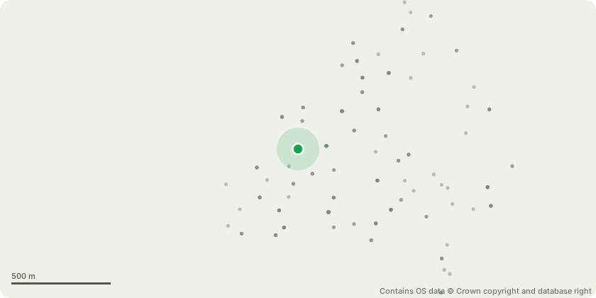
Approximate location - Contains OS data © Crown copyright and database right
Proposal
Leylandii hedge - 11 trees - Fell to ground levelThe hedge is in poor condition due to historic mismanagement and lack of appropriate maintenance. There isextensive internal dieback throughout the hedge, with several trees (approximately 4, potentially more)confirmed dead and others in clear decline.The hedge has become sparse and structurally inconsistent, with significant areas of dead material andreduced screening value. It no longer functions effectively as a healthy or appropriate boundary feature.There is established screening from a neighbouring beech hedge to the rear, meaning removal will not resultin a significant loss of privacy or visual amenity.Replacement planting will include three native trees comprising Silver Birch, Sorbus and native Crab Apple.In addition, approximately 40 metres of mixed native hedging has already been established along the siteboundaries, with a further mixed native hedge proposed along the line of the removed Leylandii to provide amore sustainable, biodiverse and appropriate long-term boundary treatment.
Key dates
- Received 15 Apr 2026
- Validated 15 Apr 2026
- Started 15 Apr 2026
- Decided 5 May 2026
Planning history / related applications
No related planning applications have been identified in the current public OGL dataset.
Inside plotEdge
Go beyond the public record
This page is the public OGL record. plotEdge adds the private intelligence layer for this site - open it in the app to unlock:
- Ownership & title Registered owner and title from HM Land Registry.
- Viability & build potential Site scoring and development upside.
- Constraints Flood risk, green belt, conservation areas and designations.
- Approval signal Planning risk and approval-likelihood analysis.
- Comparable applications Decisions on similar nearby sites, side by side.
- Status alerts Get notified the moment this application changes.
Source: public planning application data from Leeds, reused under the Open Government Licence v3.0. View the council source record. Council documents and drawings are not republished on plotEdge.