Leeds
Leeds/26/01911/TR
Park Side Moor Road Bramhope Leeds LS16 9HH
- Reference
- Leeds/26/01911/TR
- Authority
- Leeds
- Application type
- TR
- Address
- Park Side Moor Road Bramhope Leeds LS16 9HH
- Postcode
- LS16 9HH
- Status
- Decided
- Decision
- Approved
- Received
- 1 Apr 2026
- Validated
- 1 Apr 2026
- Started
- 1 Apr 2026
- Decided
- 5 May 2026
- Source council
- Leeds
- Council source record
- View public record
- Public data licence
- Open Government Licence v3.0
- Record updated
- 18 Jul 2026
- SEO index generated
- 24 Jul 2026
Location
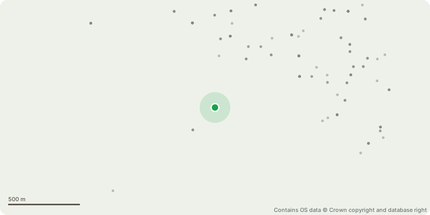
Approximate location - Contains OS data © Crown copyright and database right
Proposal
To carry out all works outlined within the attached Tree Survey. The works to the roadside trees has already been completed at the request of LCC Highways Department. T4 Beech, T13 Elm, T18 Beech, T23 Common Ash, T25 Sycamore, T26, T29, T36 Horse Chestnut: Crown lift to a height of 5m from ground level over drive. T7 Beech: Reduce limb closest to the drive, cutting 2m above the cavity at the union.T14 Sycamore: Remove hung up branch. Crown lift to a height of 5m from ground level over the road. T15 Beech: Crown lift to a height of 5m from ground level over the road. Reduce extending limb by approx. 3m in line with footpath.T21 Beech, T47 Ash: Monolith to leave a 5m standing habitat stem.T28 Beech: Remove hung up branch. Monitor in the Autumn for fungal brackets.T41, T43 Holly: Crown lift to a height of 2.5m from ground level over the footpath.T46 Horse Chestnut, T55 Common Ash: Remove. T48 Sycamore: Monolith to leave a 3m standing habitat stem.T51 Common Ash: Remove hung up branch. Monitor annually in full leaf for signs of decline.T52 Common Ash: Reduce long limbs over the road to leave 5m long branch stubs.
Key dates
- Received 1 Apr 2026
- Validated 1 Apr 2026
- Started 1 Apr 2026
- Decided 5 May 2026
Planning history / related applications
No related planning applications have been identified in the current public OGL dataset.
Inside plotEdge
Go beyond the public record
This page is the public OGL record. plotEdge adds the private intelligence layer for this site - open it in the app to unlock:
- Ownership & title Registered owner and title from HM Land Registry.
- Viability & build potential Site scoring and development upside.
- Constraints Flood risk, green belt, conservation areas and designations.
- Approval signal Planning risk and approval-likelihood analysis.
- Comparable applications Decisions on similar nearby sites, side by side.
- Status alerts Get notified the moment this application changes.
Source: public planning application data from Leeds, reused under the Open Government Licence v3.0. View the council source record. Council documents and drawings are not republished on plotEdge.