Leeds
Leeds/26/01895/TR
51 Hough Top Swinnow Leeds LS13 4QW
- Reference
- Leeds/26/01895/TR
- Authority
- Leeds
- Application type
- TR
- Address
- 51 Hough Top Swinnow Leeds LS13 4QW
- Postcode
- LS13 4QW
- Status
- Decided
- Decision
- Split decision
- Received
- 31 Mar 2026
- Validated
- 31 Mar 2026
- Started
- 31 Mar 2026
- Decided
- 18 May 2026
- Source council
- Leeds
- Council source record
- View public record
- Public data licence
- Open Government Licence v3.0
- Record updated
- 18 Jul 2026
- SEO index generated
- 24 Jul 2026
Location
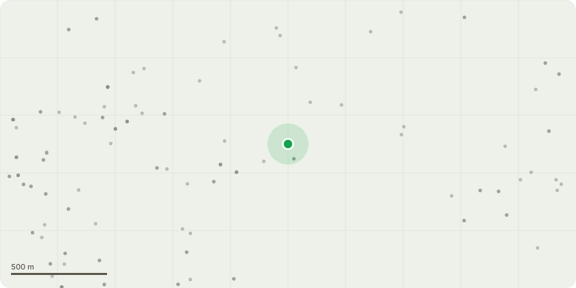
Approximate location
Proposal
T1, T2, T3 Sycamore: Crown lift by selective removal of lower secondary and tertiary branches only to achieve a crown clearance of approximately 7 to 8 metres above ground level. No primary structural limbs will be removed, and the overall crown form, leaf area and physiological function will be retained. The trees are positioned on a steeply sloping garden where the dense lower canopy heavily restricts light to the ground layer. The proposed crown lifting will increase dappled light penetration beneath the canopy to allow the establishment of a native understory planting scheme, improving biodiversity and habitat value while retaining the trees? amenity and canopy presence. The works are limited to minor lower canopy management to support ecological garden use without altering the overall size or character of the trees.
Key dates
- Received 31 Mar 2026
- Validated 31 Mar 2026
- Started 31 Mar 2026
- Decided 18 May 2026
Planning history / related applications
No related planning applications have been identified in the current public OGL dataset.
Inside plotEdge
Go beyond the public record
This page is the public OGL record. plotEdge adds the private intelligence layer for this site - open it in the app to unlock:
- Ownership & title Registered owner and title from HM Land Registry.
- Viability & build potential Site scoring and development upside.
- Constraints Flood risk, green belt, conservation areas and designations.
- Approval signal Planning risk and approval-likelihood analysis.
- Comparable applications Decisions on similar nearby sites, side by side.
- Status alerts Get notified the moment this application changes.
Source: public planning application data from Leeds, reused under the Open Government Licence v3.0. View the council source record. Council documents and drawings are not republished on plotEdge.