Leeds
Leeds/26/01334/TR
41 Buckstone Oval Moortown Leeds LS17 5HF
- Reference
- Leeds/26/01334/TR
- Authority
- Leeds
- Application type
- TR
- Address
- 41 Buckstone Oval Moortown Leeds LS17 5HF
- Postcode
- LS17 5HF
- Status
- Decided
- Decision
- Refused
- Received
- 9 Mar 2026
- Validated
- 9 Mar 2026
- Started
- 9 Mar 2026
- Decided
- 5 May 2026
- Source council
- Leeds
- Council source record
- View public record
- Public data licence
- Open Government Licence v3.0
- Record updated
- 18 Jul 2026
- SEO index generated
- 24 Jul 2026
Location
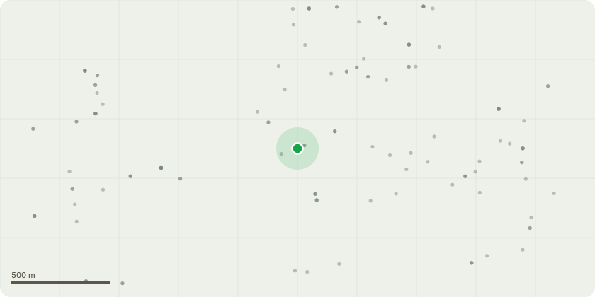
Approximate location
Proposal
See description of works on application form - Mixed mature deciduous trees (exact species unknown). Description of Proposed Works:Crown reduction and pruning of overhanging branches to provide approximately 2 metres clearance from the property and boundaries. Branches extending over the roof and towards the house will be cut back by approximately 2 metres from the current canopy spread, including branches extending over the roadside.Reason for the Work: The trees have become heavily overgrown and now surround the property. Branches extend directly over the roof and towards the house. During spring, summer and autumn large amounts of leaves, seeds and debris fall into the property and gutters, entering the house and requiring daily cleaning and maintenance.Reducing the canopy by approximately 2 metres around the property will prevent debris entering the house, improve clearance from the building, and allow safe maintenance of the property.Replacement Trees:No trees are proposed to be removed. The application is only for trimming and crown reduction, therefore no replacement planting is required
Key dates
- Received 9 Mar 2026
- Validated 9 Mar 2026
- Started 9 Mar 2026
- Decided 5 May 2026
Planning history / related applications
No related planning applications have been identified in the current public OGL dataset.
Inside plotEdge
Go beyond the public record
This page is the public OGL record. plotEdge adds the private intelligence layer for this site - open it in the app to unlock:
- Ownership & title Registered owner and title from HM Land Registry.
- Viability & build potential Site scoring and development upside.
- Constraints Flood risk, green belt, conservation areas and designations.
- Approval signal Planning risk and approval-likelihood analysis.
- Comparable applications Decisions on similar nearby sites, side by side.
- Status alerts Get notified the moment this application changes.
Source: public planning application data from Leeds, reused under the Open Government Licence v3.0. View the council source record. Council documents and drawings are not republished on plotEdge.