Leeds
Leeds/26/00915/TR
86A Potternewton Lane Chapel Allerton Leeds LS7 3LW
- Reference
- Leeds/26/00915/TR
- Authority
- Leeds
- Application type
- TR
- Address
- 86A Potternewton Lane Chapel Allerton Leeds LS7 3LW
- Postcode
- LS7 3LW
- Status
- Decided
- Decision
- No Objection
- Received
- 16 Feb 2026
- Validated
- 16 Feb 2026
- Started
- 16 Feb 2026
- Decided
- 2 Mar 2026
- Source council
- Leeds
- Council source record
- View public record
- Public data licence
- Open Government Licence v3.0
- Record updated
- 18 Jul 2026
- SEO index generated
- 24 Jul 2026
Location
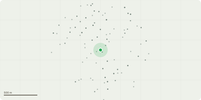
Approximate location
Proposal
T1- Mediterranean/Italian Cypress (Cupressus Sempervirens) which is located in our courtyard at the corner of Methley Place and Zermatt Street. The tree is very close to our boundary wall (onto the footway at the very bottom of Methley Place) and is affecting the structure of that wall (which appears to be an original feature) and also the structure of our neighbour's extension (84a - the other side of our semi-detached dwelling). The tree has grown much too tall, but at any height is much too close to a physical structure.There is no tree preservation order in place but it is located within the Chapel Allerton Conservation Area (shown on attached plan). Although not the fast growing leylandii species - it has growth considerably in the 12? years we have owned this property.Permission is sought to remove the tree entirely. The nature of the tree means that reduction to a more appropriate height would essentially leave bare trunk - and would not mitigate the trees impact on the adjacent structures.The tree can be seen on the attached sketch plan details (showing location and photo). And on Google Streetview https://maps.app.goo.gl/sYgLYLbXCgpoY4gb8Centre front of this image adjacent to the gate to our courtyard (labelled 86a). Our neighbour's house is visible to the left of the tree - but the extension which the tree is affecting can barely be seen (a beige painted render strip visible over the wall, above their house number plate 84A)
Key dates
- Received 16 Feb 2026
- Validated 16 Feb 2026
- Started 16 Feb 2026
- Decided 2 Mar 2026
Planning history / related applications
No related planning applications have been identified in the current public OGL dataset.
Inside plotEdge
Go beyond the public record
This page is the public OGL record. plotEdge adds the private intelligence layer for this site - open it in the app to unlock:
- Ownership & title Registered owner and title from HM Land Registry.
- Viability & build potential Site scoring and development upside.
- Constraints Flood risk, green belt, conservation areas and designations.
- Approval signal Planning risk and approval-likelihood analysis.
- Comparable applications Decisions on similar nearby sites, side by side.
- Status alerts Get notified the moment this application changes.
Source: public planning application data from Leeds, reused under the Open Government Licence v3.0. View the council source record. Council documents and drawings are not republished on plotEdge.