Leeds
Leeds/26/00826/TR
15 Chapel Hill Road Pool In Wharfedale Otley LS21 1QY
- Reference
- Leeds/26/00826/TR
- Authority
- Leeds
- Application type
- TR
- Address
- 15 Chapel Hill Road Pool In Wharfedale Otley LS21 1QY
- Postcode
- LS21 1QY
- Status
- Decided
- Decision
- Split decision
- Received
- 16 Feb 2026
- Validated
- 16 Feb 2026
- Started
- 16 Feb 2026
- Decided
- 22 Apr 2026
- Source council
- Leeds
- Council source record
- View public record
- Public data licence
- Open Government Licence v3.0
- Record updated
- 18 Jul 2026
- SEO index generated
- 24 Jul 2026
Location
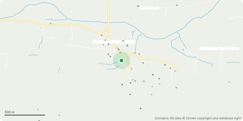
Approximate location - Contains OS data © Crown copyright and database right
Proposal
T1 Horse Chestnut: To be removed due to poor condition from previous heavy pruning/reduction - see invalid replyT2 Sycamore: Lower south easterly side branches x 3 located around 1m above main union to be pruned back to boundary/main stem. Prune higher branches by up to 2m to suitable unions, we are wanting to remove up to 2m from the upper canopy that grows towards the house and is becoming quite close. T3 Silver Birch: To be crown reduced to previous height by removing up to 1.5m in height and up to 1m on all sides to reshape.All other trees and shrubs along fence line to be pruned back to boundary to allow for better light levels and reduce sap soiling the garden. this is a mixture of overgrown holly and self-seeded deciduous species. preference is to remove full limbs back to main stem of any young or semi mature trees, as to be in line with BS3998 and not leave any unsightly pegs that will then cause excessive and un natural regrowth.
Key dates
- Received 16 Feb 2026
- Validated 16 Feb 2026
- Started 16 Feb 2026
- Decided 22 Apr 2026
Planning history / related applications
No related planning applications have been identified in the current public OGL dataset.
Inside plotEdge
Go beyond the public record
This page is the public OGL record. plotEdge adds the private intelligence layer for this site - open it in the app to unlock:
- Ownership & title Registered owner and title from HM Land Registry.
- Viability & build potential Site scoring and development upside.
- Constraints Flood risk, green belt, conservation areas and designations.
- Approval signal Planning risk and approval-likelihood analysis.
- Comparable applications Decisions on similar nearby sites, side by side.
- Status alerts Get notified the moment this application changes.
Source: public planning application data from Leeds, reused under the Open Government Licence v3.0. View the council source record. Council documents and drawings are not republished on plotEdge.