Leeds
Leeds/26/00799/TR
Sports Ground Old Lane Bramhope Leeds LS16 9AY
- Reference
- Leeds/26/00799/TR
- Authority
- Leeds
- Application type
- TR
- Address
- Sports Ground Old Lane Bramhope Leeds LS16 9AY
- Postcode
- LS16 9AY
- Status
- Decided
- Decision
- No Objection
- Received
- 10 Feb 2026
- Validated
- 10 Feb 2026
- Started
- 10 Feb 2026
- Decided
- 18 Feb 2026
- Source council
- Leeds
- Council source record
- View public record
- Public data licence
- Open Government Licence v3.0
- Record updated
- 18 Jul 2026
- SEO index generated
- 24 Jul 2026
Location
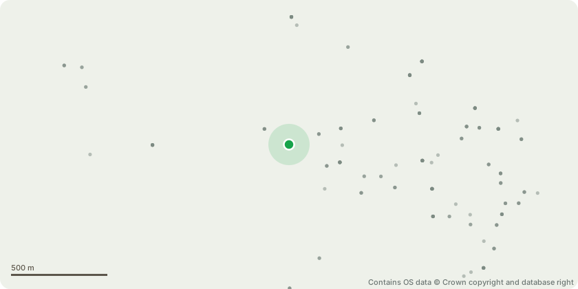
Approximate location - Contains OS data © Crown copyright and database right
Proposal
T1 Maple: Selectively reduce and draw back the encroaching limbs to suitable branch unions to provide a 3m clearance from the flood-light column.T2 Hawthorn hedge: Trim back encroaching limbs to establish a 3m clearance from the flood-light column, maintaining an even hedge line and preventing future obstruction.T3 Maple Acer: Crown lift to achieve a 3m clearance above ground level, removing only the necessary minor and lower limbs to provide unobstructed access while maintaining a balanced canopy structure.T4 Maple Acer: Crown lift to achieve a 3.0 m clearance above ground level, removing only the necessary minor and low-level branches to provide unobstructed maintenance access while maintaining overall tree form.G5 1 Silver Birch,1 Maple, 1 Common Beech: Crown lift all trees within the group to achieve a uniform 3.5m clearance above ground level, removing only minor and low-level branches required to facilitate safe and efficient maintenance access.T6 Ash: Crown lift the canopy on the track side to achieve a minimum clearance of 5.5 to 6.0m above ground level, removing only the necessary secondary and tertiary branches to improve access while retaining overall canopy form.T7 Hawthorn: Fell. Two dead stems to fell to ground level.T8 Whitebeam: Crown raise by 2m as touching roof of club house.T9 Species unknown: Small tree to remove to prevent further damage to the wall and facilitate repairs to the dry stone wall.
Key dates
- Received 10 Feb 2026
- Validated 10 Feb 2026
- Started 10 Feb 2026
- Decided 18 Feb 2026
Planning history / related applications
No related planning applications have been identified in the current public OGL dataset.
Inside plotEdge
Go beyond the public record
This page is the public OGL record. plotEdge adds the private intelligence layer for this site - open it in the app to unlock:
- Ownership & title Registered owner and title from HM Land Registry.
- Viability & build potential Site scoring and development upside.
- Constraints Flood risk, green belt, conservation areas and designations.
- Approval signal Planning risk and approval-likelihood analysis.
- Comparable applications Decisions on similar nearby sites, side by side.
- Status alerts Get notified the moment this application changes.
Source: public planning application data from Leeds, reused under the Open Government Licence v3.0. View the council source record. Council documents and drawings are not republished on plotEdge.