Leeds
Leeds/26/00221/TR
7 Main Street Linton Wetherby LS22 4HT
- Reference
- Leeds/26/00221/TR
- Authority
- Leeds
- Application type
- TR
- Address
- 7 Main Street Linton Wetherby LS22 4HT
- Postcode
- LS22 4HT
- Status
- Decided
- Decision
- No Objection
- Received
- 13 Jan 2026
- Validated
- 13 Jan 2026
- Started
- 13 Jan 2026
- Decided
- 6 Feb 2026
- Source council
- Leeds
- Council source record
- View public record
- Public data licence
- Open Government Licence v3.0
- Record updated
- 18 Jul 2026
- SEO index generated
- 24 Jul 2026
Location
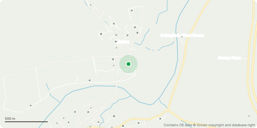
Approximate location - Contains OS data © Crown copyright and database right
Proposal
Ornamental Magnolia: Prune back overhanging lateral branches back to the boundary line only. Works include the removal of primary limbs that have extended substantially into the applicants garden. All cuts will be made to appropriate growth points and limited strictly to the applicants side of the boundary. No works will be undertaken beyond the boundary. All pruning will be carried out in accordance with BS3998: Recommendations for Tree Work.The Magnolia tree was historically part of a mixed boundary hedge, and its growth habit has developed accordingly, with one primary branch extending significantly into the applicant's garden. This limb now causes material encroachment and excessive shading and obstructs completion of a partially installed privacy fence along the boundary. Photographic evidence indicates that a comparable branch on the neighbour's side was previously removed and has since regrown, demonstrating that the tree responds well to pruning and remains in good physiological condition. The proposed works are confined solely to the applicant's side, and will not adversely affect the tree's contribution to the character and appearance of the Conservation Area
Key dates
- Received 13 Jan 2026
- Validated 13 Jan 2026
- Started 13 Jan 2026
- Decided 6 Feb 2026
Planning history / related applications
No related planning applications have been identified in the current public OGL dataset.
Inside plotEdge
Go beyond the public record
This page is the public OGL record. plotEdge adds the private intelligence layer for this site - open it in the app to unlock:
- Ownership & title Registered owner and title from HM Land Registry.
- Viability & build potential Site scoring and development upside.
- Constraints Flood risk, green belt, conservation areas and designations.
- Approval signal Planning risk and approval-likelihood analysis.
- Comparable applications Decisions on similar nearby sites, side by side.
- Status alerts Get notified the moment this application changes.
Source: public planning application data from Leeds, reused under the Open Government Licence v3.0. View the council source record. Council documents and drawings are not republished on plotEdge.